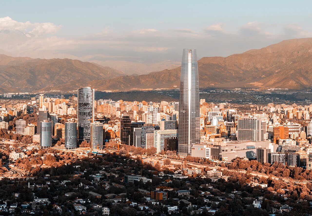
Santiago fills a broad metropolitan basin beneath the Andes, with visitor areas distributed across several communes. The historic centre begins at Plaza de Armas and extends through the civic district. Lastarria and Bellas Artes form a cultural corridor nearby, Bellavista lies across the river, and Providencia continues east toward modern business districts. Parks and viewpoints are connected by transit, but mountain and wine-country excursions belong to separate days.
Practical information
Language spoken
Spanish
National practical orientation; regional and minority languages may also be used
Dialling code
+56
International calling code; local area and mobile prefixes still apply
Currency
Chilean peso (CLP)
Use the official local currency; card acceptance varies by place
Emergency number
133 police · 131 ambulance · 132 fire
Use only for an emergency; tourist assistance may use a separate number
Plug type
Type C and L · 220 V
Check that chargers support the recorded voltage before using an adapter
Tap water
Not recorded
No single verified statement covers all regions and remote areas
The compact historic core includes Plaza de Armas, civic buildings, pedestrian streets and central museums. Lastarria, Bellas Artes and Parque Forestal can be combined on foot, while Bellavista forms a neighbouring but distinct area. Providencia, Ñuñoa, Barrio Italia and eastern districts require Metro or bus connections. Maipo Valley, Cajón del Maipo and ski areas are regional excursions and should not be mixed into a dense central-city route.
Santiago's integrated public transport combines Metro and urban buses, with commuter rail serving selected corridors. Use Metro for longer moves between the centre, Providencia and other connected communes, then walk within each neighbourhood. Check official transport information for current routes and payment requirements. Mountain, vineyard and rural journeys use separate services and may be affected by weather or road conditions, so confirm those arrangements independently.
Checked 2026-08-26
Common questions
How is Santiago organised for sightseeing?
the historic centre, Lastarria-Bellas Artes, Bellavista and Providencia are distinct clusters
How many days should I spend in Santiago?
No fixed stay length is recorded; select urban clusters before adding regional excursions.
What is the easiest way to get around Santiago?
Metro and urban buses connect communes, with walking best inside each neighbourhood.
Which places need a separate trip from central Santiago?
Cajón del Maipo and wine valleys are regional road excursions, not central stops.
What is the most practical way to plan a day in Santiago?
Combine Lastarria with Bellas Artes and Parque Forestal; plan Bellavista and Providencia separately.
Turn this list into a plan
Set your days, your pace and the hours you actually want to be out. The planner works around closing days and travel time, and leaves room to eat.
Nothing non-essential is set before you choose, in regions where consent is required. If you decline, ads still appear but they are non-personalised, and analytics is switched off entirely.
.jpg)