Smart Self-Managed Tours

City guide · Canada

Montreal

A photograph of Montreal
Photograph · https://www.pxfuel.com/ · CC0

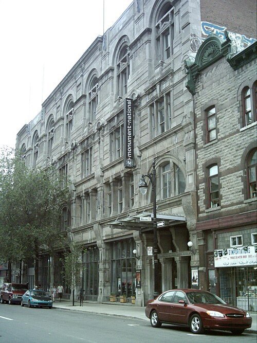
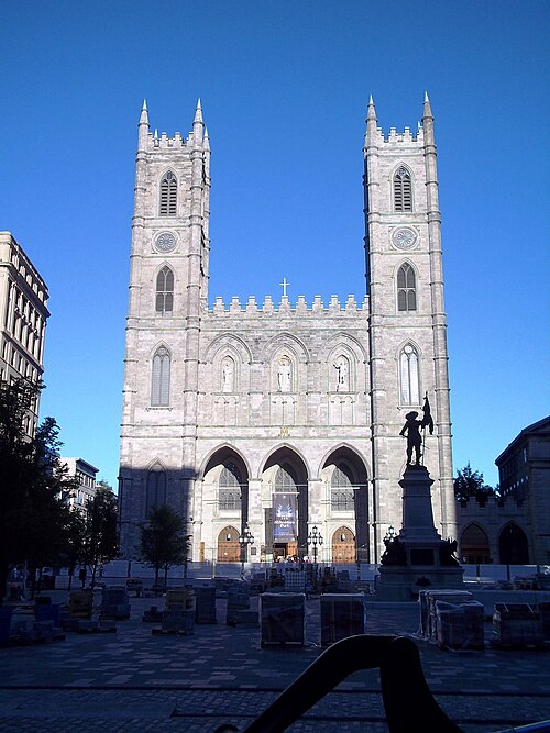
Montréal is an island city organised between the St. Lawrence River and Mount Royal. Downtown, the Quartier des Spectacles and Old Montréal form the central visitor core; the Plateau and Mile End extend north, while Little Italy, the canal districts, the Olympic District and Parc Jean-Drapeau are separate clusters. The centre is compact, but the wider island rewards combining walking with the four-line métro network.

Practical information

Language spoken
English and French
National practical orientation; regional and minority languages may also be used
Dialling code
+1
International calling code; local area and mobile prefixes still apply
Currency
Canadian dollar (CAD)
Use the official local currency; card acceptance varies by place
Emergency number
911
Use only for an emergency; tourist assistance may use a separate number
Plug type
Type A and B · 120 V
Check that chargers support the recorded voltage before using an adapter
Tap water
Not recorded
Water systems and advisories are managed by multiple jurisdictions

Turn this list into a plan

Set your days, your pace and the hours you actually want to be out. The planner works around closing days and travel time, and leaves room to eat.

Plan Montreal

Planning a visit

Suggested stay
Not recorded
Getting around
Walk, métro, bus and BIXI
  1. January: recurring difficult conditions
  2. February: recurring difficult conditions
  3. March: viable with meaningful trade-offs
  4. April: good time to visit
  5. May: best time to visit
  6. June: best time to visit
  7. July: good time to visit
  8. August: good time to visit — current month
  9. September: best time to visit
  10. October: good time to visit
  11. November: viable with meaningful trade-offs
  12. December: recurring difficult conditions
  • Best time
  • Good time
  • Viable with trade-offs
  • Difficult conditions

Sources

Top things to see

Ranked by importance — sitelinks, pageviews and heritage status, not editor preference.

  1. Saint Joseph's Oratory of Mount Royal Saint Joseph's Oratory of Mount Royal
    02 30 min

    Saint Joseph's Oratory of Mount Royal

    Saint Joseph's Oratory of Mount Royal is Canada's national shrine, a monumental Roman Catholic basilica perched on the northwestern slope of Mount Royal in Montreal.

    • Must see
    • Place of worship
  2. Art Mûr
    23 1 hour

    Art Mûr

    • High
    • Art and culture venue
  3. La Joute
    28 1 hour

    La Joute

    • High
    • Art and culture venue
  4. MTELUS
    30 1 hour

    MTELUS

    • High
    • Art and culture venue
  5. Club Soda
    36 1 hour

    Club Soda

    • High
    • Art and culture venue

Source: OpenStreetMap contributors, Wikidata ·

How the city is laid out

Downtown sits south of Mount Royal and west of Old Montréal, with the Quartier des Spectacles between their main cultural corridors. The Plateau and Mile End are north and northeast of the centre; Little Italy and Villeray continue farther north. The Lachine Canal districts extend southwest, while the Olympic District lies east. Parc Jean-Drapeau occupies islands in the St. Lawrence and requires a bridge, métro or seasonal water connection.

Checked 2026-08-26

Getting around

Walk through Downtown, Old Montréal and individual neighbourhood centres, then use the métro and buses for longer links. The métro has four lines connecting central districts with major visitor areas. BIXI bike share and the extensive cycle-path network are practical in suitable conditions, while the underground pedestrian network provides a sheltered central route. Check STM notices for service changes and seasonal transport before travel.

Checked 2026-08-26

Common questions

How many days should I spend in Montréal?

A fixed stay length is not recorded. Plan Downtown and Old Montréal first, then add Mount Royal, the Plateau, Mile End or another district according to your interests.

Is central Montréal walkable?

Yes. Downtown, the Quartier des Spectacles and Old Montréal form a compact central area, while the métro connects them with neighbourhoods farther across the island.

How many métro lines does Montréal have?

The visitor information service describes a four-line métro network connecting downtown with major sights, neighbourhoods, bus stops and rail stations.

What is Montréal's underground city?

It is a central pedestrian network linking transport, shops, services and buildings. It is useful as a sheltered route but does not replace the métro for longer journeys.

Is Parc Jean-Drapeau downtown?

No. It occupies islands in the St. Lawrence River. Reach it by a dedicated transport connection and plan it separately from a central neighbourhood walk.