


.jpg)
.jpg)
.jpg)
81 min walk
National Falls (Upper Falls)
- Notable
- Nature site
Language · 1 published
Nature site · Sydney
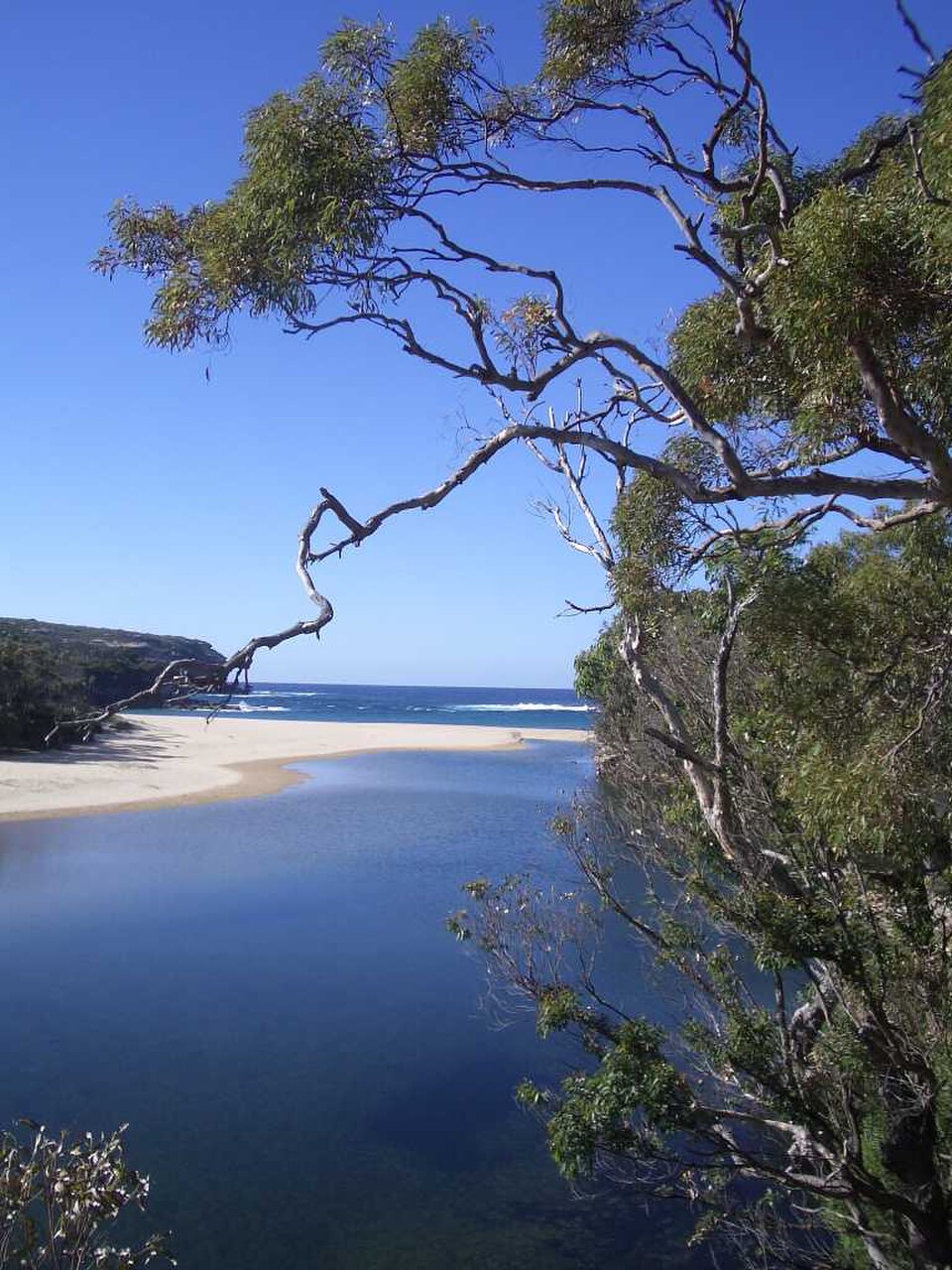
Royal National Park is a protected natural area on the southern fringe of metropolitan Sydney. Established in 1879, it holds status as one of the world's oldest national parks. The park encompasses coastal heathland, eucalyptus forest, sandstone cliffs, and beaches along the Tasman Sea. It lies within the documented city scope as a meaningful visitor destination for Sydney travellers seeking natural landscapes beyond the urban core. The park is managed as a protected area with conservation objectives alongside recreational access.
Checked 2026-08-26
The park contains varied terrain including the Coast Track walking path, Wattamolla lagoon and beach, Figure Eight Pools rock formations, and Wedding Cake Rock. Audley sits at the park's interior with a visitor contact point and picnic grounds. Multiple creek systems drain through the landscape. Birdlife and native vegetation are present throughout. Camping areas exist at designated locations. The terrain ranges from sheltered valleys to exposed coastal headlands with views across the Pacific Ocean. A flexible visit lets travellers connect Royal National Park with the rest of the day without treating one room, viewpoint or photograph as the whole experience. The useful pace depends on personal interest and conditions on arrival.
Checked 2026-08-26

Visitor duration varies substantially by activity and fitness level. The Coast Track requires multiple days for full completion. Shorter walks to individual features such as Wedding Cake Rock or Figure Eight Pools typically occupy several hours return from access points. Beach visits at Wattamolla or Garie may extend from brief stops to full day use. Drivers traversing the park on sealed roads can cover main areas in under two hours without extended stops. Planning requires personal assessment of route and capability.
Checked 2026-08-26

Seasonal conditions affect visitor experience and safety. Summer brings higher temperatures and increased visitation to coastal areas. Winter offers cooler conditions for walking. Rainfall influences track conditions and creek crossing safety. Operator-confirmed hours are Not recorded pending review. Visitors should consult official sources before travel regarding any access restrictions, seasonal closures, or fire danger periods that may affect entry. Daylight hours vary seasonally and affect feasible walking distances for return trips. Royal National Park also earns time in a sydney itinerary because Royal National Park is a meaningful sydney visitor destination retained within the documented city scope. Production has no exact city POI pool match, so it remains ABSENT without a near match. Its value becomes clearer when the stop is compared with the surrounding streets and the other ranked places nearby.
Checked 2026-08-26
Entry to Royal National Park requires payment of a park use fee at designated entry stations or through permit systems. Annual pass options may be available for frequent visitors. Specific prices are Not recorded pending review. Camping at designated grounds involves separate fees. Visitors should verify current fee structures through official National Parks and Wildlife Service channels before arrival. Some peripheral access points may have different fee collection arrangements. Penalties apply for non-payment where fees are mandated.
Checked 2026-08-26

The park is accessible by private vehicle via Princes Highway turnoffs at Loftus, Waterfall, or Otford. Train services on the South Coast Line stop at Loftus, Engadine, Heathcote, Waterfall, Helensburgh, Otford, and Stanwell Park with varying distances to park features. Some walking tracks connect directly from railway stations. No regular public bus service penetrates the park interior. Cycling is possible on sealed roads and designated tracks. Water access exists at certain points for boats but is not a practical arrival method for most visitors.
Checked 2026-08-26
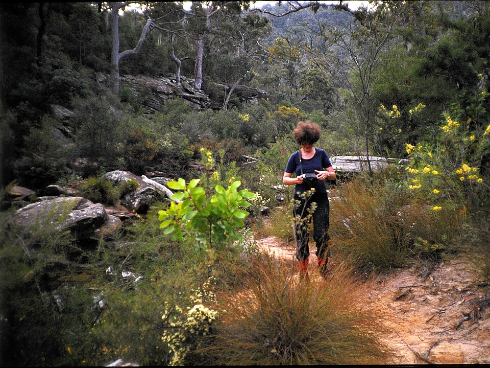
Coastal rock platforms experience wave surge and unexpected swells that have caused serious incidents at Figure Eight Pools and similar locations. Cliff edges present fall hazards with unstable sandstone in places. Bushfire risk elevates during hot dry periods with potential for emergency closures. Mobile phone coverage is patchy throughout much of the park. Water sources are untreated and require purification. Snakes are present in warmer months. Ticks occur in vegetation. Walking track difficulty varies significantly and signage should be followed. Inform others of intended routes.
Checked 2026-08-26
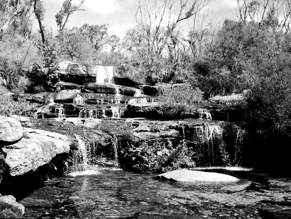
The park offers landscape photography opportunities across coastal, forest, and geological subjects. Sunrise and sunset positions vary by season and access point. Wedding Cake Rock and Figure Eight Pools are frequently photographed locations requiring appropriate safety awareness. Wide-angle lenses suit cliff and coastline compositions. Weather conditions change rapidly affecting light and access. Drone operation is restricted within national parks without specific authorisation. Commercial photography may require permits. Tide levels affect coastal rock platform accessibility and appearance. Early arrival at popular locations reduces visitor congestion in frames.
Checked 2026-08-26
The park lies on the southern metropolitan fringe and is retained within the documented city scope as a meaningful Sydney visitor destination despite having no exact city POI pool match.
Wave surge and unexpected swells present serious hazards at this location. Visitors must exercise cautious judgement regarding conditions and never turn their back on the ocean.
Designated camping areas exist within the park. Separate fees apply and bookings may be required through official National Parks channels.
Train stations on the South Coast Line provide access to various park entry points, though some require substantial walking to reach trackheads. No regular bus service penetrates the interior.
Yes. Natural water sources are untreated and require purification. Visitors should carry adequate supplies as mobile coverage is patchy for emergency assistance.
Drone operation is restricted within national parks without specific authorisation from management authorities.
Loading the interactive map…
The interactive map could not be loaded.
Last updated:
Source: OpenStreetMap contributors, Wikidata ·