


14 min walk · New Belgrade
Usce Park
- High
- Nature site
Language · 1 published
Nature site · Градска општина Земун, Belgrade
ПИО Велико ратно острво
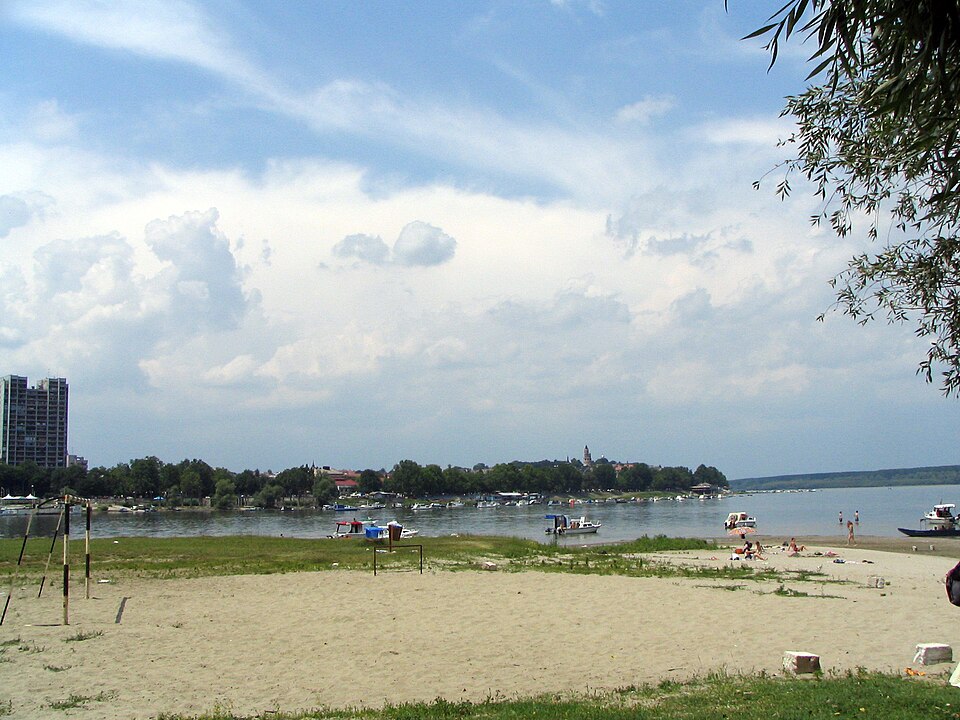
Great War Island is an uninhabited river island at the point where the Sava flows into the Danube, inside Belgrade's Zemun municipality. It is triangular and covers 2.11 square kilometres of low, often marshy ground that floods when the Danube rises. The island did not always exist in its current form: it began as a sandbank recorded in the 14th century and had grown into a full island by the mid-15th century, and it is still growing today, having added roughly 0.4 square kilometres since the 1960s through ongoing sediment deposition.
Serbia designated the island a protected landscape in 2005, an IUCN Category IV classification given for its outstanding natural features. That status bars hotels, motels and restaurants from being built on it, which is the main reason the island has stayed undeveloped this close to a capital city.
Checked 2026-08-23 · Source
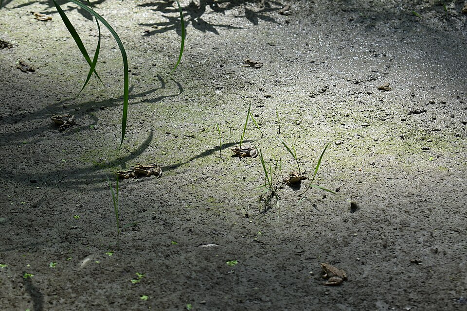
The protection status exists because of the island's wildlife. Bird surveys have recorded 208 species on Great War Island, 200 of them protected, with 66 species nesting there rather than just passing through. White-tailed eagles established themselves on the island in 2010, and pygmy cormorants and black storks are also resident. Fifty-three fish species have been identified in the surrounding waters, and 21 mammal species live on the island, including otters and wild boar; a soprano pipistrelle bat, rare enough to be individually noted, was discovered there in 2008.
Vegetation is dominated by black poplar, ash and willow, the trees that tolerate regular flooding, alongside more than 5,800 oak seedlings that have been planted on the island. Historically the island held military significance for anyone trying to take or defend Belgrade, with documented military use going back to at least 1521 during Ottoman sieges and continuing through the First World War; no fortifications are presented for visitors today, and what remains is largely the natural landscape rather than preserved ruins.
Checked 2026-08-23 · Source
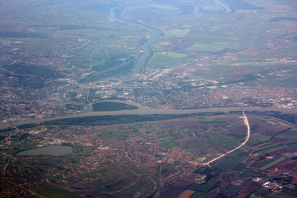
Most visits are a half day: crossing the pontoon bridge, walking or cycling to Lido Beach, and spending time on the beach or the immediate shoreline. Reaching the interior wetlands and the parts of the island where the eagles and cormorants nest takes longer and is better suited to visitors specifically there for birdwatching rather than a beach day, since much of the reserve is marsh rather than open path.
Checked 2026-08-23
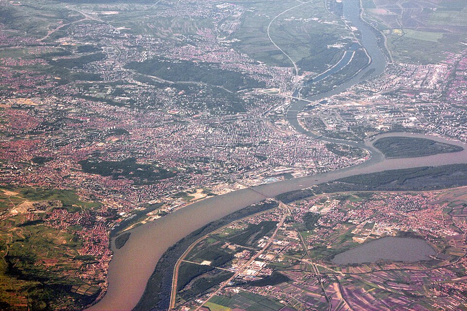
Access is seasonal by design: the pontoon bridge that connects the island to Zemunski Kej is a 375-metre military structure put in place only for July, August and September, which is also when Lido Beach operates as a swimming spot. Outside those months the island is effectively cut off from casual visitors, since it has no permanent bridge and the surrounding water is a river crossing, not a footpath.
Checked 2026-08-23 · Source
Current fees for crossing the pontoon bridge or for boat access outside the bridge season are not published on the sources this page uses and are not reproduced here. The reserve itself carries no separate entry ticket beyond whatever the bridge or boat crossing costs, since the protection is a land-use designation rather than a managed visitor attraction with its own gate.
Checked 2026-08-23
During the July-to-September season, the pontoon bridge from Zemunski Kej in Zemun is the direct route onto the island, leading to Lido Beach at the northern tip. Outside that window, or for anyone wanting to reach parts of the reserve away from the bridge, the island is reached only by boat, since it has no permanent vehicle or pedestrian crossing. Zemun itself is reachable from central Belgrade by tram or bus; the city has no metro.
Checked 2026-08-23 · Source
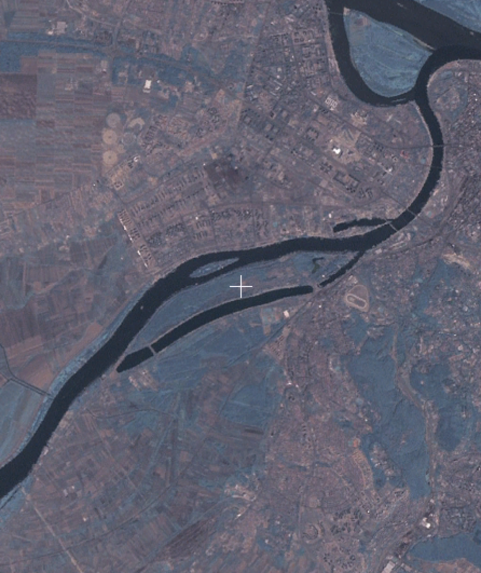
The island floods regularly and its interior is genuine marsh, not landscaped parkland, so wandering off the tracks near Lido Beach in wet conditions is a real way to get stuck rather than a minor inconvenience. The pontoon bridge is a military structure operating on a fixed summer schedule; arriving outside July to September means no crossing at all rather than a quieter version of the same visit.
As a protected landscape with nesting eagles, cormorants and storks, the reserve rules exist specifically to keep visitors away from breeding areas outside the beach zone, and drones or close approach to nest sites should be avoided for that reason. The dozen or so retirees who keep seasonal residences on the island are private occupants, not part of any visitor facility, and their plots should be treated as private property.
Checked 2026-08-23 · Source
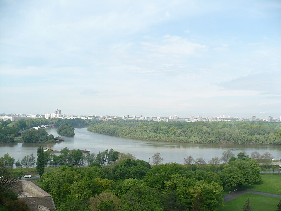
The confluence itself — the visible line where the Sava's water meets the Danube's — is best photographed from the island's western shore or from the fortress side across the water, since Great War Island sits exactly at that junction. Early morning is the strongest time for the resident bird species, particularly the white-tailed eagles, though photographers should keep distance from nests rather than approach for a closer shot, in line with the reserve's protection rules.
Checked 2026-08-23
From July to September, a 375-metre military pontoon bridge connects the island to Zemunski Kej in Zemun, leading to Lido Beach. Outside that season the island has no permanent crossing and is reached only by boat.
The island is largely uninhabited; only about a dozen retirees keep seasonal residences there. It is otherwise a protected nature reserve rather than a settled place.
Surveys have recorded 208 bird species, including nesting white-tailed eagles established since 2010, plus 53 fish species and 21 mammal species including otters and wild boar.
The island covers 2.11 square kilometres and continues to grow through river sedimentation, having added about 0.4 square kilometres since the 1960s.
Serbia designated it a protected landscape in 2005 under IUCN Category IV, a status given for outstanding natural features that also bars hotels, motels and restaurants from being built on it.
Lido Beach, at the island's northern tip, is the public swimming area, reachable during the July-to-September bridge season. Current facilities and fees for the beach are not published on the sources this page uses and are not reproduced here.
Loading the interactive map…
The interactive map could not be loaded.
Last updated:
Source: OpenStreetMap contributors, Wikidata ·