
01
1 hr 30 min
Shedd Aquarium
- Must see
- Family attraction
Language · 1 published
City guide · United States
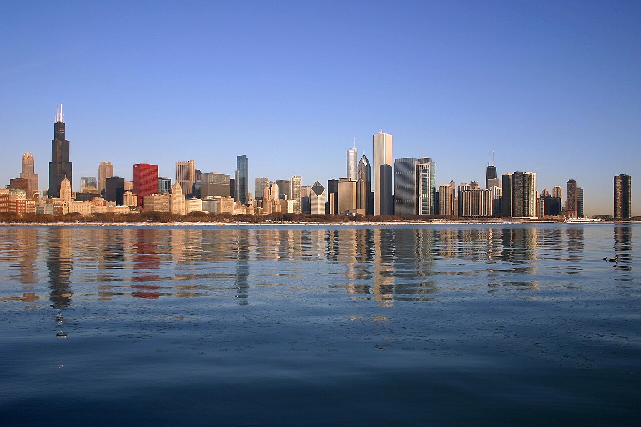
Chicago is organised around Lake Michigan, the Chicago River and a regular street grid. The Loop contains the central business district, major architecture and Millennium Park; museum campuses and lakefront parks extend south, while River North, Lincoln Park and neighbourhood centres continue north and west. A first visit works best when downtown sights are grouped together and separate time is reserved for one or two neighbourhoods beyond the Loop.
Ranked by importance — sitelinks, pageviews and heritage status, not editor preference.
17 places match
Category
Typical visit duration
Interests
Source: OpenStreetMap contributors, Wikidata ·
State Street and Madison Street form the reference point for Chicago's address grid. The Loop sits beside the river and lake, with the Magnificent Mile and River North immediately north. Museum Campus, Hyde Park and Bronzeville lie south; West Loop, Pilsen and Wicker Park extend west and northwest. The lakefront is a continuous orientation line, but neighbourhood distances are substantial, so a map that appears compact can still represent several miles of travel.
Checked 2026-08-26
Walk within the Loop and along the central riverfront, then use CTA trains and buses for neighbourhoods and the airports. The colour-coded rail network connects downtown with the North, West and South Sides; the Blue Line serves O'Hare and the Orange Line serves Midway. Metra is useful for farther suburban trips rather than most central sightseeing. Check the official service map and alerts before travel because planned work can alter routes.
Checked 2026-08-26
A fixed stay length is not recorded. Plan one block for the Loop and river, one for the lakefront museums, and additional time for the neighbourhoods that match your interests.
The Loop is the practical centre, bounded by elevated rail tracks and set beside the river and Lake Michigan. River North and the Magnificent Mile begin immediately north.
Yes. Walk downtown and use CTA trains and buses for the lakefront, neighbourhoods and airports. Metra is mainly useful for destinations farther beyond the central city.
The CTA Blue Line connects O'Hare International Airport with downtown. Consult CTA service alerts before departure because construction or maintenance can affect the normal route.
Not always. The grid makes orientation simple, but the city extends a long way along the lake. Group nearby districts and use transit between the North, West and South Sides.
Set your days, your pace and the hours you actually want to be out. The planner works around closing days and travel time, and leaves room to eat.