


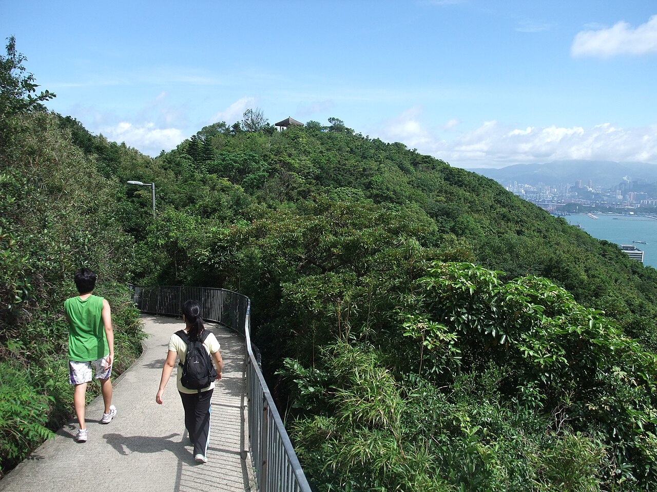
11 dk yürüyüş · 中西區 Central and Western District
龍虎山 Lung Fu Shan
- Dikkate değer
- Manzara noktası
Dil · 11 yayınlandı
Manzara noktası · 中西區 Central and Western District, Hong Kong
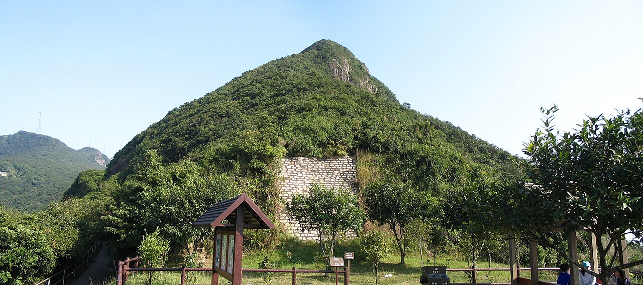
High West, known locally as 西高山 High West, is a mountain peak situated on Hong Kong Island. It stands as a notable geographical feature within the region's rugged terrain, forming part of the western section of the island's mountainous backbone. The peak contributes to Hong Kong's distinctive skyline when viewed from appropriate vantage points. Its designation as a named summit reflects its recognition in local cartography and outdoor recreation circles. The mountain represents one of numerous elevated points that characterize Hong Kong's surprisingly hilly topography despite the territory's dense urban development.
2026-08-28 kontrol edildi
High West itself is a natural landform without enclosed facilities or constructed attractions. The area surrounding the peak comprises typical Hong Kong country park terrain, including subtropical vegetation, rocky outcrops, and natural drainage features. No buildings, visitor centers, or maintained amenities are documented at the summit specifically. The mountain's character derives from its undeveloped state, offering a contrast to Hong Kong's intensely built environment. Hikers encountering the peak would find standard trail conditions for the region, with possible informal paths created by repeated foot traffic rather than engineered walkways.
2026-08-28 kontrol edildi

The duration required to reach and traverse High West depends entirely on chosen approach routes and individual hiking pace. Multiple trail networks connect to the general area from various points on Hong Kong Island, including approaches from Victoria Peak vicinity and other surrounding elevations. Experienced hikers in typical conditions might allocate several hours for a meaningful excursion incorporating this summit. Actual timing varies substantially with weather conditions, physical preparation, and whether the peak is visited as a standalone objective or as part of a longer ridge traverse connecting multiple summits.
2026-08-28 kontrol edildi

Hong Kong's subtropical climate presents distinct seasonal considerations for mountain visitation. Summer months bring high temperatures, humidity, and risk of thunderstorms that can make exposed summits hazardous. Winter offers generally cooler and drier conditions typically preferred for strenuous outdoor activity. Typhoon season demands particular caution with rapidly changing conditions. Operator-confirmed hours are Not recorded pending review. No staffed facility regulates access timing. Personal judgment regarding weather forecasts, daylight hours, and physical readiness should govern visitation decisions. Morning starts are generally prudent for summer hiking to avoid afternoon heat buildup and storm development.
2026-08-28 kontrol edildi
Access to High West involves no admission mechanism as it constitutes open country terrain without gated entry or managed access points. No ticketing infrastructure exists at the summit itself. Visitors should anticipate potential costs associated with reaching trailheads via public transportation or other means. Any guided services or organized activities would involve separate commercial arrangements. Operator-confirmed prices are Not recorded pending review. The absence of formal management means no revenue collection for conservation or maintenance purposes is directly associated with this specific geographical point. Standard country park regulations apply to behavior in the surrounding area.
2026-08-28 kontrol edildi
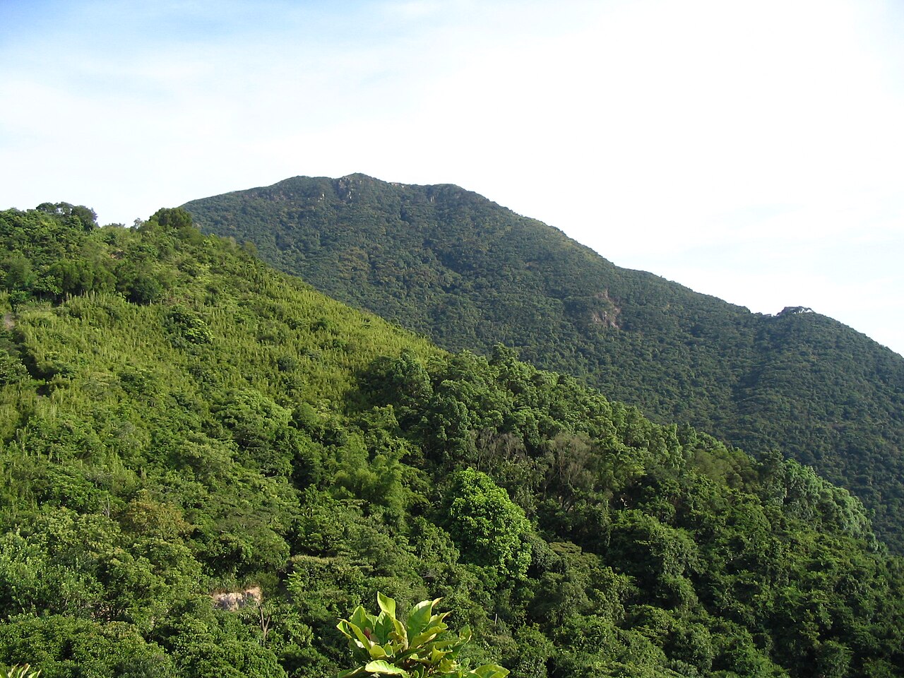
High West is accessible via Hong Kong Island's extensive trail network, with connections possible from multiple directions. The Peak Tower area and Victoria Peak vicinity offer one approach vector, with paths descending or traversing toward the western summit. Public transportation to nearby urbanized points includes bus services and the Peak Tram to Victoria Peak. Precise trail junctions and wayfinding markers require on-ground verification. Topographic maps and hiking applications referencing OpenStreetMap data may assist navigation. Physical condition and appropriate footwear are essential given the steep terrain characteristic of Hong Kong's mountain trails. No direct vehicular access to the summit exists.
2026-08-28 kontrol edildi
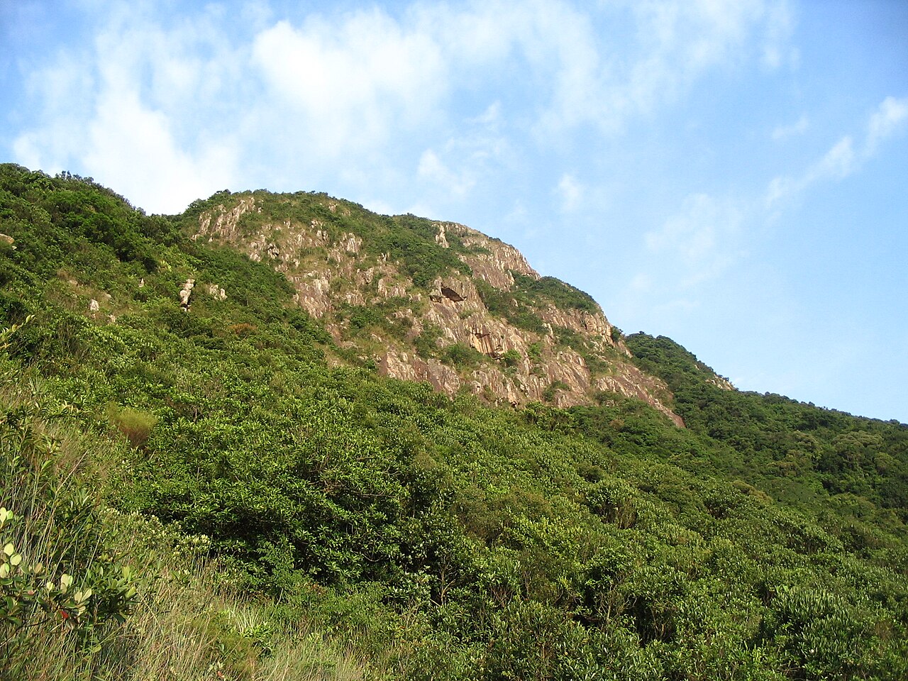
Hong Kong's mountain environment presents several hazards requiring visitor awareness. Steep and sometimes eroded trail surfaces demand careful foot placement, particularly during or after rainfall when surfaces become slippery. Summer heat and humidity can rapidly induce exhaustion or heat-related illness without adequate hydration and pacing. Afternoon thunderstorms pose lightning exposure risk on exposed summits. Limited shade in some sections increases sun exposure. The territory's wildlife includes venomous snakes, though encounters are uncommon with appropriate caution. Mobile phone coverage may be intermittent in terrain folds. Solo hiking on lesser-used trails warrants additional precaution given potential delay in emergency assistance.
2026-08-28 kontrol edildi
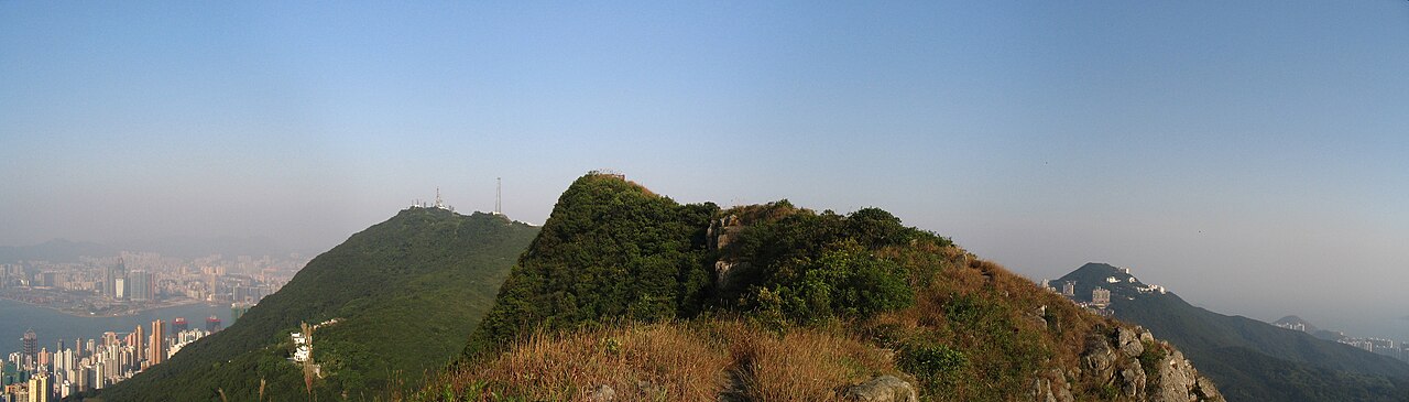
High West offers photographic opportunities emphasizing natural terrain and contextual views of Hong Kong's urban-nature juxtaposition. The summit's elevation permits sightlines toward surrounding waters and developed areas, though specific framing depends on vegetation and atmospheric conditions. Early morning and late afternoon typically provide favorable directional lighting for landscape capture. Haze and air quality variability significantly affect distant visibility, particularly in warmer months. The peak's relatively modest prominence among surrounding elevations may limit distinctive panoramic differentiation. No specialized infrastructure supports photography. Tripod use on uneven surfaces requires stability assessment. Weather-sealed equipment is advisable given unpredictable precipitation.
2026-08-28 kontrol edildi
No. High West is a separate summit located to the west of Victoria Peak, though both are on Hong Kong Island and connected by trail networks.
Not recorded. No constructed facilities are documented at the High West summit itself.
Not recorded. Specific elevation measurements are not confirmed in the available source material.
No permit requirement is indicated for accessing this open country terrain under standard country park regulations.
No restrictions are documented, though night hiking requires appropriate equipment and carries additional risks on unlit natural terrain.
Assessment depends on individual fitness and experience. Hong Kong mountain trails generally involve steep gradients and uneven surfaces requiring adequate preparation.
Etkileşimli harita yükleniyor…
Etkileşimli harita yüklenemedi.

Son güncelleme:
Kaynak: OpenStreetMap katkıda bulunanları, Wikidata ·