


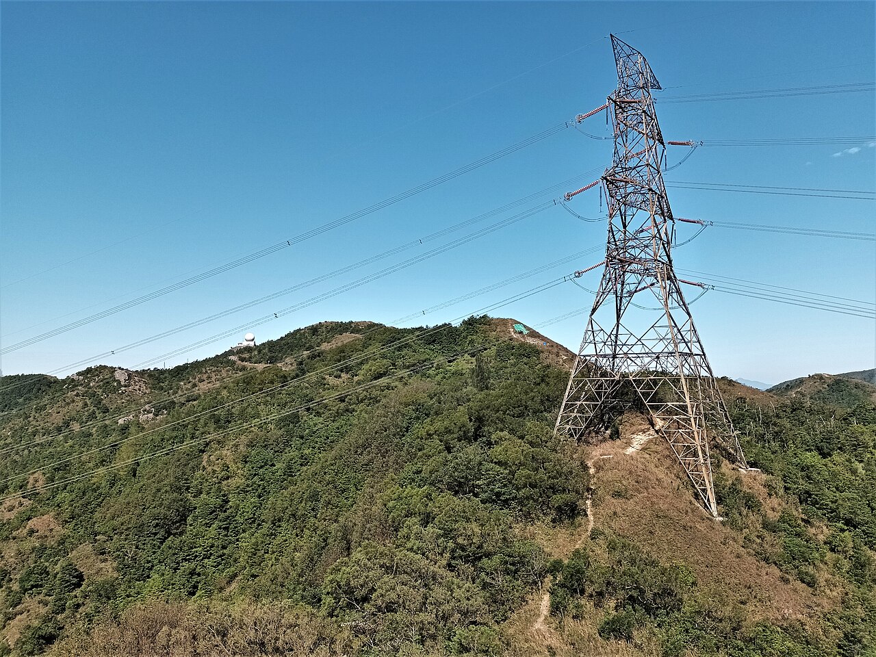
17 dk yürüyüş · 西貢區 Sai Kung District
東山 Tung Shan
- Mutlaka görülmeli
- Manzara noktası
Dil · 11 yayınlandı
Manzara noktası · 西貢區 Sai Kung District, Hong Kong
飛鵝山 Kowloon Peak
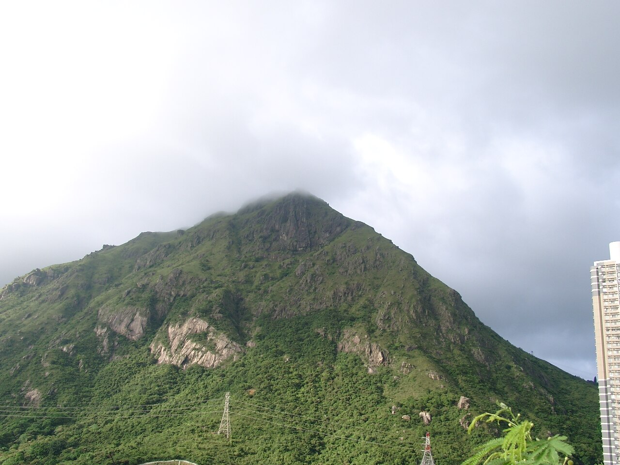
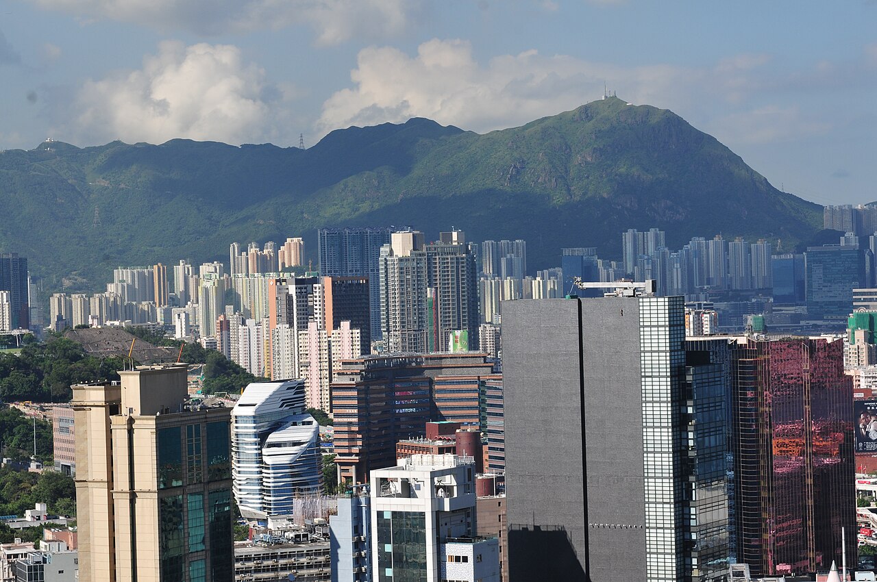
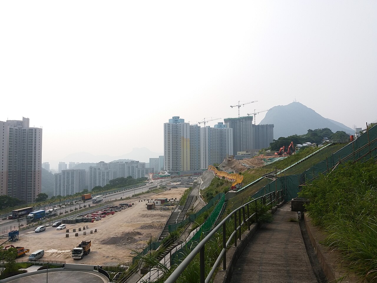
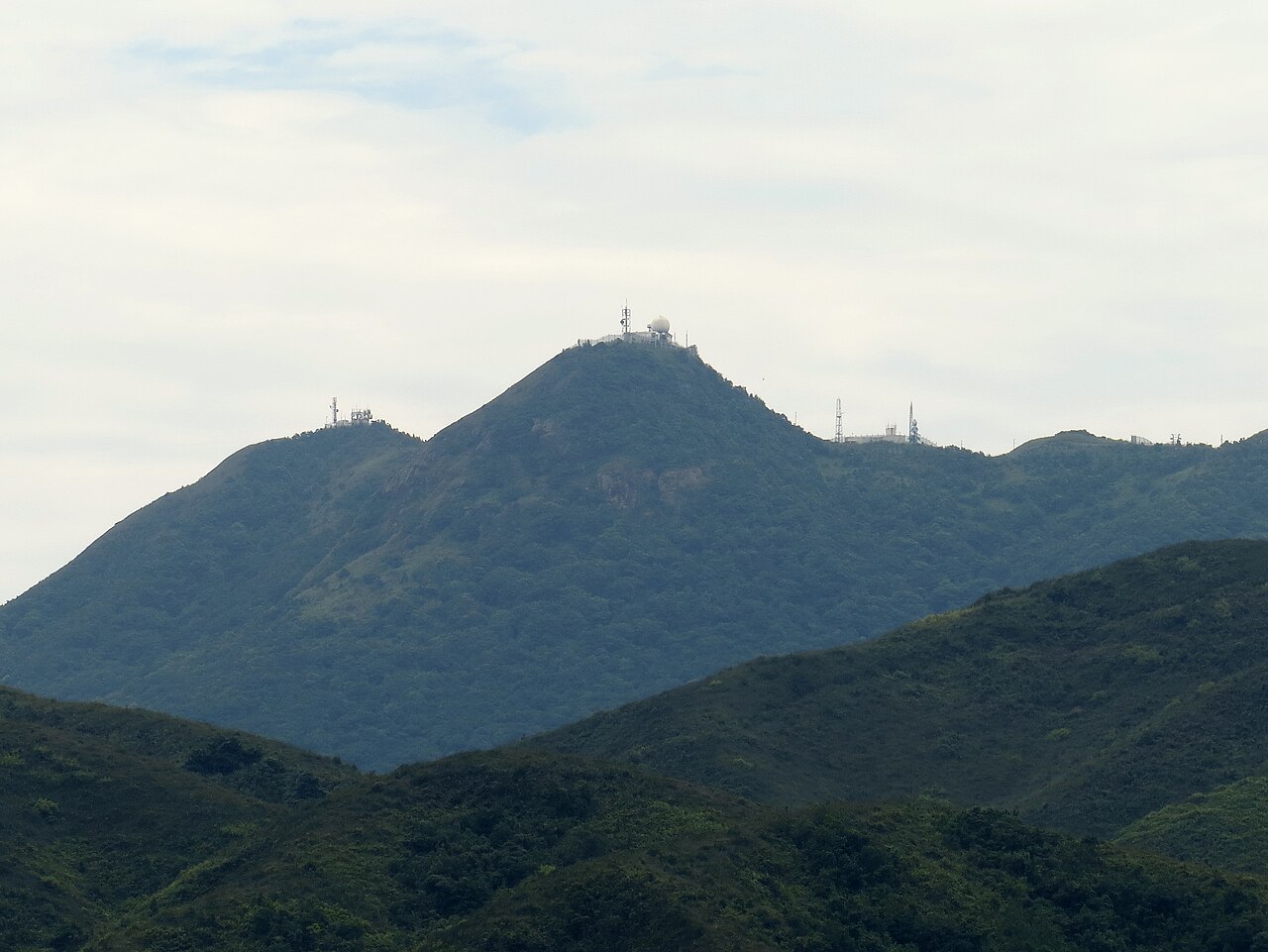
Kowloon Peak, known locally as 飛鵝山 (Fei Ngo Shan), is a mountain in Hong Kong situated in the northeastern part of Kowloon. It stands as one of the most prominent peaks in the area, offering expansive views across the urban landscape and Victoria Harbour. The peak forms part of the broader Kowloon Ridge and is recognised as a significant natural landmark within the densely developed territory. Its elevation makes it a notable point for orientation and observation. A flexible visit keeps attention on what is distinctive at Kowloon Peak without treating one room, viewpoint or photograph as the whole experience. Conditions on arrival should decide the final pace.
2026-08-28 kontrol edildi
The summit area of Kowloon Peak contains telecommunications facilities and transmission equipment, reflecting its functional role beyond recreation. The terrain comprises grassy slopes and rocky outcrops typical of Hong Kong's upland country parks. Vegetation includes shrubland and grassland species adapted to the exposed conditions. The surrounding area falls within country park boundaries, meaning natural features predominate over built amenities. No visitor centre, commercial facilities, or maintained attractions are present at the summit itself. Kowloon Peak also earns time in a hong kong itinerary because its setting and role differ from the surrounding ranked stops. Compare the place with the nearby streets before deciding how it fits the day.
2026-08-28 kontrol edildi
The duration of a visit to Kowloon Peak varies substantially depending on chosen access route and activity. Hiking from nearby trailheads typically requires several hours of walking with significant elevation gain. Those arriving by vehicle or taxi may spend considerably less time. The summit itself offers limited infrastructure for extended stays. Visitors should allocate additional time for navigation and potential delays, particularly in conditions of reduced visibility. No recorded standard duration applies to all approaches or visitor intentions.
2026-08-28 kontrol edildi
Kowloon Peak can be visited throughout the year, though weather conditions vary significantly by season. Summer months bring heat, humidity, and risk of thunderstorms, while winter offers cooler and drier conditions. Fog and low cloud frequently obscure views. Sunrise and sunset periods attract photographers but require careful timing. No staffed facilities exist to regulate access times. Visitors should consult current weather forecasts and exercise caution regarding rapidly changing mountain conditions before setting out. Check the operator's own site for the travel date before relying on a schedule or fare.
2026-08-28 kontrol edildi
Access to Kowloon Peak involves no formal admission mechanism for the summit area itself, as it lies within country park boundaries. No ticket booths, turnstiles, or entry control points are present. Any costs relate solely to transportation to access points. Visitors using public transport, taxi, or private vehicle will incur respective standard charges. No concession schemes, annual passes, or group booking systems apply to the mountain specifically. Commercial tour operations, if encountered, operate independently. Check the operator's own site for the travel date before relying on a schedule or fare.
2026-08-28 kontrol edildi
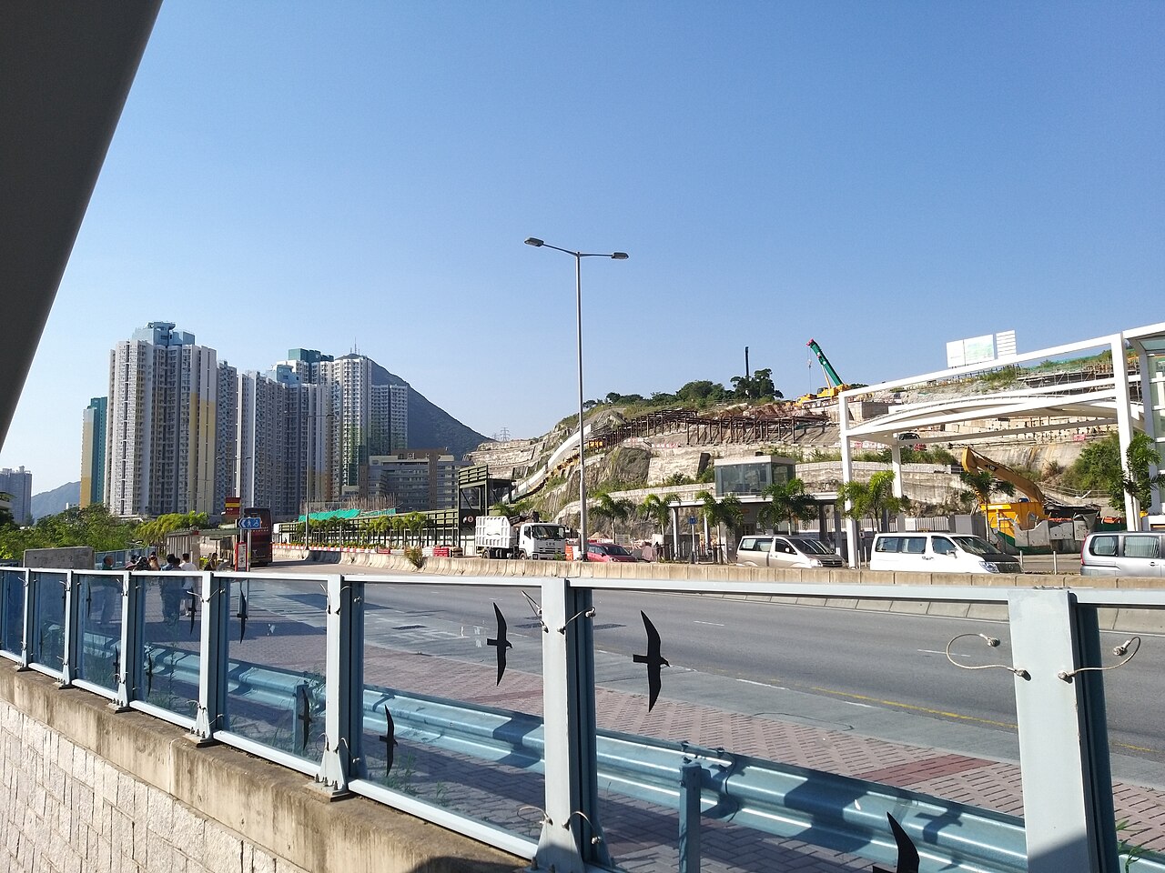
Multiple approaches reach Kowloon Peak. Public buses serve roads passing below the mountain, from where hiking trails ascend. Taxi or private vehicle can utilise Fei Ngo Shan Road, which reaches near the summit though with restricted access in sections. The MacLehose Trail and other footpaths connect from surrounding areas including Sai Kung and Wong Tai Sin. Signage varies in quality. Nighttime access presents additional challenges. Visitors should carry detailed maps and confirm current route conditions, as paths may be steep, unmarked, or affected by erosion.
2026-08-28 kontrol edildi
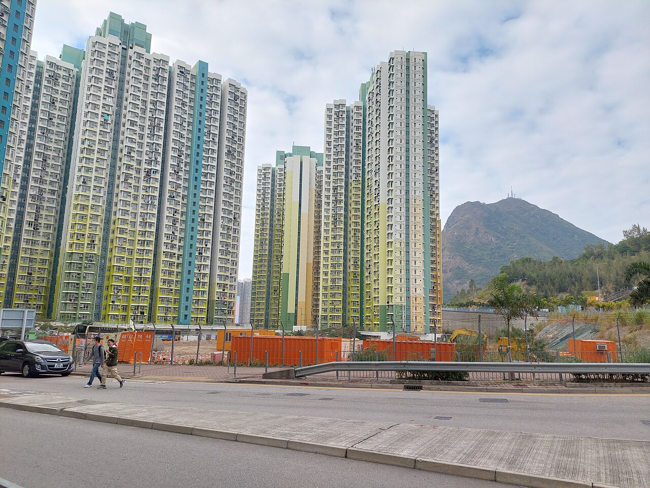
Kowloon Peak presents genuine hazards requiring visitor vigilance. The summit and ridges are exposed with minimal shelter from weather. Mobile telephone coverage, while present near transmission equipment, cannot be guaranteed across all approaches. Steep and eroded trail sections demand appropriate footwear and physical readiness. Darkness falls rapidly with limited artificial lighting. Emergency services access is constrained by terrain. Solo hiking, particularly outside daylight hours, carries elevated risk. Informing others of intended routes and return times represents prudent practice. Weather deterioration can occur rapidly.
2026-08-28 kontrol edildi
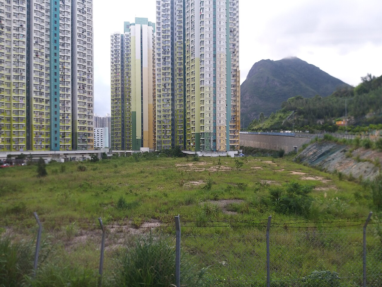
Kowloon Peak offers recognised photographic potential, particularly for cityscape views encompassing Victoria Harbour and the skyline of Hong Kong Island. The elevation provides perspectives unavailable at street level. Sunrise and sunset lighting conditions are sought after. Night photography of urban illumination is practised though involves logistical and safety considerations. The telecommunications structures at the summit intrude on some compositions. Equipment security demands attention in exposed conditions. Fog, haze, and air quality variability affect results unpredictably. No dedicated viewing platforms or protective infrastructure for photographers exist.
2026-08-28 kontrol edildi
Yes. Fei Ngo Shan (飛鵝山) is the local Chinese name for Kowloon Peak. Both names refer to the same mountain.
Not recorded. The supplied sources do not specify a verified elevation figure.
Not recorded. No facilities are mentioned in the supplied sources, and visitors should not assume amenities are present.
Fei Ngo Shan Road reaches near the summit area, but access restrictions and road conditions apply. Visitors should verify current vehicle access status independently.
Judgement required. Some approaches involve steep and demanding terrain. Physical fitness, appropriate equipment, and navigation skills are necessary. Beginners should research specific routes carefully.
Not recorded. The supplied sources contain no information about organised tour services. Any commercial operators would need independent verification.
Etkileşimli harita yükleniyor…
Etkileşimli harita yüklenemedi.
Son güncelleme:
Kaynak: OpenStreetMap katkıda bulunanları, Wikidata ·