.jpg)
01
2 hr 30 min
National Museum of Serbia
The National Museum is the oldest and largest museum in Serbia, and it was shut for fifteen years.
- Must see
- Museum
- Stari Grad
Language · 1 published
City guide · Serbia
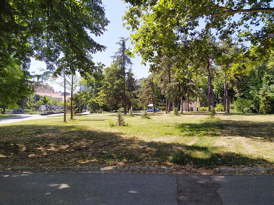
Belgrade is 389.12 km² holding 1,197,714 people, and it stands on the point where the Sava runs into the Danube. That confluence is why the city exists and why it has been fought over so relentlessly: it has been battled over in 115 wars and razed 44 times. The name Beograd means white city. The administrative area holds 1,682,720 people across 3,234.96 km² in 17 municipalities. The part a visitor uses is a fraction of that — the old town on the ridge above the rivers, and the streets running down from it.
Ranked by importance — sitelinks, pageviews and heritage status, not editor preference.
1 place matches
Category
Typical visit duration
Interests
The National Museum is the oldest and largest museum in Serbia, and it was shut for fifteen years.
Source: OpenStreetMap contributors, Wikidata ·
District boundaries come from OSM administrative relations, so a district page holds exactly the places inside it — plus, for the islands and the coast, the nearest district by proximity.
Two Belgrades, split by the Sava.
Old Belgrade sits on the ridge on the right bank, above the confluence. The fortress is at the point; Stari Grad, the old town, runs back from it; Vračar rises behind that with the Church of Saint Sava on top; Dorćol drops north towards the Danube and Savamala south towards the Sava.
New Belgrade is on the left bank of the Sava, built from 1948 onward on empty ground to demonstrate that Yugoslavia was at the forefront of progress. It is towers and boulevards on a grid and it is a different city.
Zemun, further up the Danube on the left bank, was a separate town under Austria-Hungary until the twentieth century and still reads as one — low houses, a hill with a tower, and the border of an empire running through it.
Checked 2026-08-23
Trams, buses, trolleybuses and walking. There is no metro.
A metro has been discussed for decades and is not in operation; anyone reading about the Belgrade metro is reading about a construction programme, not a way to get across the city today.
The old town is compact and the walk from the fortress to the Church of Saint Sava takes about half an hour, all of it through the parts a visitor came for. New Belgrade and Zemun need transport.
Taxis are cheap by western European standards and are the usual way across the river at night.
Checked 2026-08-23
Two to three. Two cover the fortress, Kalemegdan, the old town and the Church of Saint Sava. A third adds Zemun on the Danube and a look at New Belgrade.
No. Belgrade runs trams, buses and trolleybuses, and a metro has been discussed for decades without entering service. The old town is walkable and taxis are cheap.
White city. The name is literal.
It stands where the Sava meets the Danube, which made it the frontier between empires. It has been fought over in 115 wars and razed 44 times.
The Sava. Old Belgrade is the ridge above the confluence with the fortress at its point. New Belgrade is on the left bank, built from 1948 on empty ground as a demonstration of Yugoslav modernity.
Stari Grad for the old town, Vračar behind it for a quieter residential base, Dorćol towards the Danube and Savamala on the Sava for the nightlife. Zemun is a separate town in feel and is further out.
Set your days, your pace and the hours you actually want to be out. The planner works around closing days and travel time, and leaves room to eat.