Luogo naturale · Queenstown
Dart River
Fotografia

- Oggi
- Orari non registrati
- Durata della visita
- 1 ora
- Accessibilità
- Non registrato
- Prezzo
- Non registrato
- Posizione
- Da non perdere
- Rango
- Classifica 47 di 545
Informazioni su Dart River
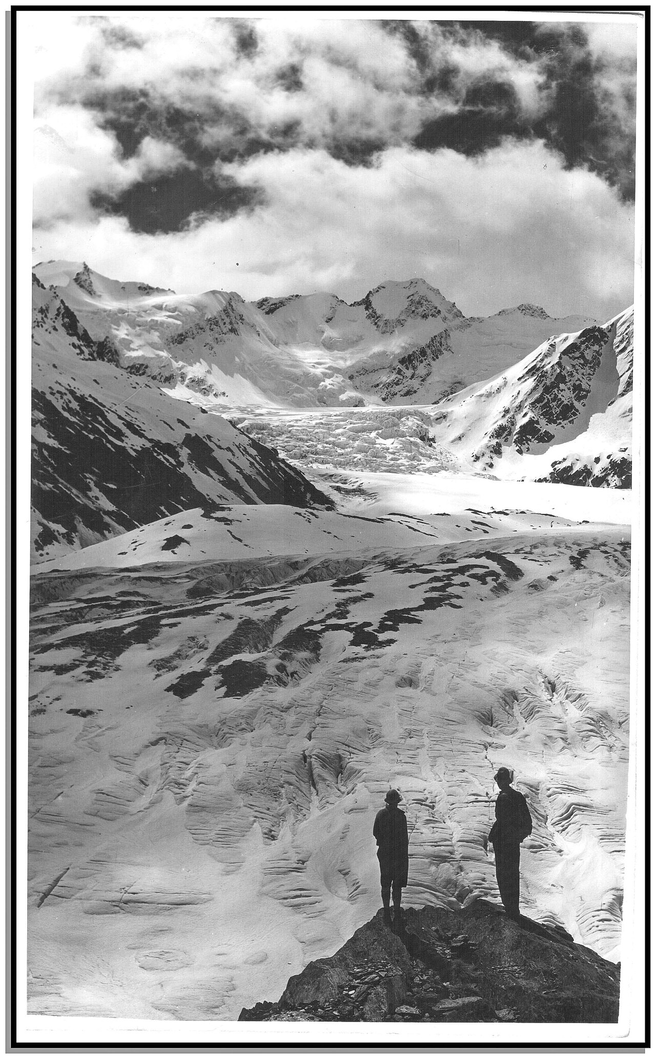
Dart River flows through the Glenorchy region near Queenstown, New Zealand. The river runs from the Dart Glacier in Mount Aspiring National Park through a braided valley system into Lake Wakatipu. The area forms part of the broader Queenstown visitor region and serves as a gateway to wilderness experiences including the Routeburn Track and other Great Walks. The river valley presents a scenic landscape of braided river channels, mountain backdrops, and native bush that attracts visitors seeking natural environments beyond the main Queenstown township.
Controllato 2026-08-26
Cosa c'è dentro
The Dart River environment contains braided river channels, glacial water flows, and surrounding mountain terrain. The area provides access to tramping tracks including the Routeburn Track, Greenstone Track, and Caples Track. Jet boat operations operate on the river. The settlement of Glenorchy sits at the river mouth where it enters Lake Wakatipu. Nearby locations include Paradise and Mount Aspiring National Park boundaries. The landscape features beech forest, tussock grasslands, and alpine scenery. Wildlife may include various native bird species in the surrounding conservation land.
Controllato 2026-08-26


Quanto tempo dedicare
Visitor time at Dart River varies considerably by activity. Jet boat trips typically occupy several hours including transport from Queenstown. Tramping trips on associated tracks range from single day walks to multi-day expeditions requiring hut bookings. Day visitors from Queenstown should allow approximately four to five hours return travel time to Glenorchy alone, with additional time for any on-site activities. Self-guided exploration duration depends on individual plans and fitness levels. Overnight or multi-day visits require appropriate preparation and equipment for backcountry conditions. Dart River also earns time in a queenstown itinerary because WIKIDATA_EDITORIAL reconciliation for the ranked entry; identity and coordinates were verified without a nearby fallback. Its value becomes clearer when the stop is compared with the surrounding streets and the other ranked places nearby.
Controllato 2026-08-26

.jpg)
Stagione e folla
Dart River access varies seasonally due to weather and track conditions. The region experiences alpine climate patterns with cold winters and mild summers. Snow and ice may affect higher elevation access during winter months. River levels fluctuate with rainfall and snowmelt affecting jet boat operations and track conditions. Operator-confirmed hours or seasonal schedules are Not recorded pending review. Visitors should consult current conditions before travel, particularly for tramping trips where weather changes rapidly. Daylight hours vary significantly between summer and winter, affecting feasible activity durations.
Controllato 2026-08-26
Biglietti
Various commercial operators provide services in the Dart River area including jet boat tours and transport options. Specific operator pricing and package details are Not recorded pending review. Department of Conservation hut passes and track permits apply for overnight tramping on the Great Walks and other tracks, with booking systems in place for peak season. Some areas require no fees for day access. Visitors should verify current costs directly with service providers and the Department of Conservation, as pricing structures may change and online sources may not reflect current rates.
Controllato 2026-08-26


Come arrivare
Road access to the Dart River area follows State Highway 6 from Queenstown to Glenorchy, a scenic drive of approximately 46 kilometres along Lake Wakatipu. The road is sealed but narrow and winding in sections. Rental vehicle travel is possible though weather conditions may affect road status. Commercial tour operators provide transport from Queenstown for booked activities. No public bus service operates on this route to standard schedules. Beyond Glenorchy, access to upstream Dart River areas requires four-wheel-drive vehicles on unsealed roads, walking, or boat transport depending on destination and conditions.
Controllato 2026-08-26


A cosa prestare attenzione
Dart River presents several visitor hazards requiring preparation. River currents are cold and fast; swimming is dangerous. Braided river channels change configuration and depth unpredictably. Weather changes rapidly in alpine environments; hypothermia risk exists year-round. Sandflies are prevalent in warm conditions. Remote location means limited mobile phone coverage and emergency services access. Self-sufficient travel requires adequate supplies, navigation ability, and emergency communication equipment. Jet boat operations have specific safety protocols. Track conditions vary; river crossings may be hazardous after rainfall. Visitors should register intentions and carry appropriate safety equipment for planned activities.
Controllato 2026-08-26


Fotografia
The Dart River valley offers landscape photography opportunities including braided river patterns, mountain reflections, and glacial water colours. Morning and evening light provides favourable conditions on clear days. Weather changes create variable atmospheric conditions. The Glenorchy-Queenstown road offers established viewpoints. Jet boat trips may provide river-level perspectives. Backcountry access allows more remote compositions with appropriate time and fitness. Drone operation requires compliance with Civil Aviation Authority rules and Department of Conservation restrictions in protected areas. Seasonal snow cover alters landscape character significantly. Tripod use in exposed locations requires stability against wind.
Controllato 2026-08-26
Domande comuni
Is Dart River located within Queenstown itself for Dart River in Queenstown?
Dart River is not in central Queenstown. It flows through the Glenorchy area approximately 46 kilometres north of Queenstown township, within the broader Queenstown visitor region and near Mount Aspiring National Park.
Can I drive to Dart River independently for Dart River in Queenstown?
You can drive to Glenorchy at the river mouth via State Highway 6. Access to upstream Dart River areas beyond Glenorchy generally requires four-wheel-drive vehicles on unsealed roads, walking, or commercial boat transport.
Do I need to book activities in advance for Dart River in Queenstown?
Commercial jet boat tours and Department of Conservation huts for overnight tramping should be booked in advance, particularly during peak visitor periods. Day access to some areas requires no booking.
Is the Dart River area suitable for children for Dart River in Queenstown?
Suitability depends on activity choice. Commercial jet boat tours may accommodate children with operator guidance. Remote tramping and backcountry access requires careful assessment of child capability and safety preparation.
What should I bring for a Dart River visit for Dart River in Queenstown?
Bring weather-appropriate layered clothing, sun protection, insect repellent, adequate food and water, navigation equipment, and emergency supplies. Specific requirements vary by activity and duration.
Are there any entry fees for Dart River for Dart River in Queenstown?
Day access to some areas requires no fee. Department of Conservation charges apply for hut accommodation and some tracks. Commercial operator fees apply for guided activities. Current specific prices are Not recorded pending review.
Dov'è
Caricamento della mappa interattiva…
Impossibile caricare la mappa interattiva.
Nelle vicinanze
Inseriscilo in un piano
Collegamenti esterni
Ultimo aggiornamento:
Fonte: Contributori di OpenStreetMap, Wikidata ·