


7 min walk
Christ Church, Heaton Norris
- Notable · Heritage site
- Historic monument
Language · 1 published
Historic monument · Manchester
Ashton Canal - Stockport Branch
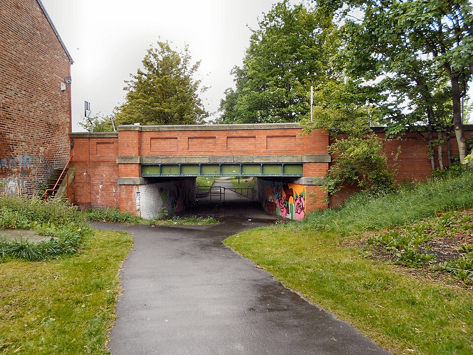
The Stockport Branch Canal, locally known as the Ashton Canal - Stockport Branch, is a historical waterway in Greater Manchester. This canal branch represents part of the region's extensive industrial canal network that facilitated trade and transport during the Industrial Revolution. The waterway connects to the broader Ashton Canal system, which historically linked Manchester with Ashton-under-Lyne. Today it stands as heritage infrastructure, offering visitors insight into the engineering achievements and commercial history that shaped this part of northwest England.
Checked 2026-08-26
The canal corridor features the waterway itself, with towpaths running alongside that permit pedestrian access. Visitors will observe typical canal infrastructure including locks, bridges, and embankments constructed during the canal's operational period. The surrounding environment reflects post-industrial landscape characteristics, with vegetation that has established itself along the watercourse over decades of reduced commercial use. The physical fabric of the canal represents 19th-century civil engineering techniques. Not recorded pending review whether any visitor facilities, information panels, or maintained amenities are present along this specific branch.
Checked 2026-08-26

A complete visit duration depends on individual walking pace and interest in canal heritage. The branch extends several miles from its junction with the main Ashton Canal. Walking the full length and return would constitute a half-day excursion for most visitors. Those seeking a brief experience might spend one to two hours exploring a section. The flat terrain along the towpath makes walking accessible, though surface conditions vary. Visitors should assess their own pace and the distance they wish to cover, as no formal trail markers or distance indicators are recorded for this branch.
Checked 2026-08-26

The canal can be visited during daylight hours throughout the year, subject to personal safety considerations regarding access and surroundings. The towpath offers different seasonal experiences, with vegetation changes across spring, summer, autumn, and winter. Weather conditions affect both comfort and underfoot conditions, particularly after rainfall when paths may become muddy. Operator-confirmed hours are Not recorded pending review. No staffed facilities or controlled access points are indicated. Visitors should exercise judgement regarding appropriate timing, particularly for solitary visits or during hours of darkness when visibility and personal security may be reduced.
Checked 2026-08-26
Access to the canal towpath appears to be without charge, consistent with typical public rights of way along British waterways. No ticketing infrastructure or payment mechanisms are evident. Operator-confirmed prices are Not recorded pending review. Visitors should not expect formal visitor services, guided tours, or maintained facilities as part of any access. Any future commercial activities, boat trips, or special events would require separate verification. The heritage value of the site lies in its freely accessible landscape and historical significance rather than programmed visitor attractions requiring admission fees.
Checked 2026-08-26
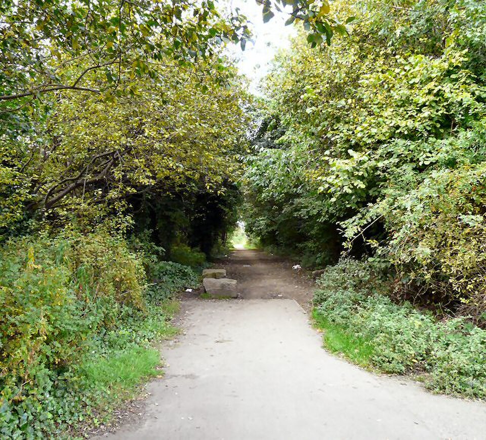
The canal branch is located in the Stockport area of Greater Manchester. Public transport options include railway services to Stockport station, with onward connection by local bus or walking required to reach the canal corridor. Road access is possible via the local street network, though dedicated parking at the canal itself is not recorded. The precise access points to this branch require local navigation. Visitors should consult current mapping services for the specific location of way/627753626 and plan their approach accordingly, recognising that canal infrastructure may have limited formal signposting from main transport routes.
Checked 2026-08-26
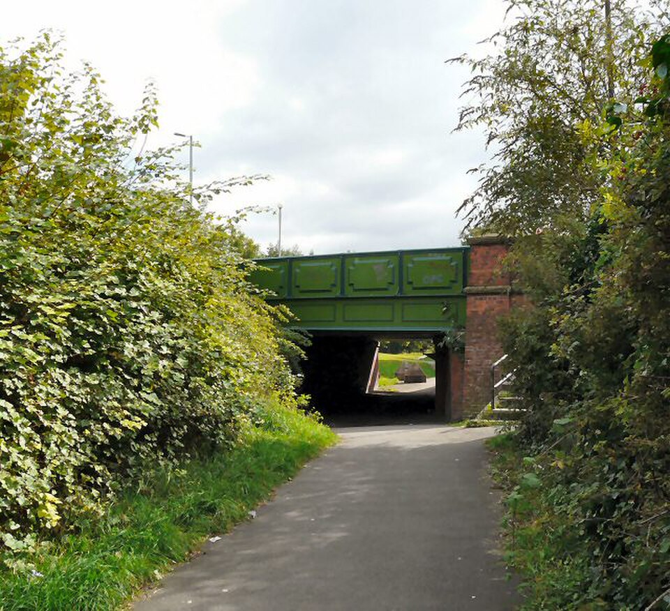
Towpath surfaces may be uneven, muddy, or obstructed by vegetation, requiring appropriate footwear and caution. The waterway itself presents drowning risk; edges may be unfenced and unstable. Cyclists may share narrow paths with pedestrians. The post-industrial environment includes areas of limited maintenance and possible isolation, suggesting visitors inform others of their plans and carry mobile phones. No emergency facilities or regular patrols are recorded. Weather conditions change quickly. Water quality is not monitored for recreational contact. Visitors should respect private property boundaries adjacent to the canal corridor and observe any local restrictions on access.
Checked 2026-08-26

The canal offers subjects including waterway architecture, lock structures, bridge stonework, and reflections in the water. The linear nature of the canal provides repeated compositional opportunities along its length. Lighting conditions vary significantly with season and time of day; overcast skies reduce harsh shadows on stonework details. Morning and evening may offer calmer water surfaces. No restrictions on photography are recorded, though drone operation would require compliance with aviation regulations and landowner permissions. The heritage character benefits from capturing engineering details and the interaction between built structures and natural overgrowth. Tripods may assist in low-light conditions.
Checked 2026-08-26
Not recorded. The current navigational status of this branch requires verification with the Canal and River Trust or other relevant navigation authority.
Not recorded. No visitor facilities are confirmed for this specific branch. Visitors should plan accordingly and not rely on amenities being available.
Not recorded. Towpath surfaces vary significantly. Visitors requiring accessible routes should seek current local information before visiting.
Not recorded. While some canals permit cycling, the specific status of this branch for cyclists requires local verification. Path width and surface conditions may affect suitability.
Not recorded. Fishing rights and licensing requirements would need confirmation from the appropriate angling association or waterway authority.
Not recorded. The responsible maintenance body for this specific branch requires verification, though the Canal and River Trust manages many comparable waterways in England.
Loading the interactive map…
The interactive map could not be loaded.
Last updated:
Source: OpenStreetMap contributors, Wikidata ·