


12 dk yürüyüş · 東區 Eastern District
柏架山 Mount Parker
- Mutlaka görülmeli
- Manzara noktası
Dil · 11 yayınlandı
Manzara noktası · 東區 Eastern District, Hong Kong
畢拿山 Mount Butler
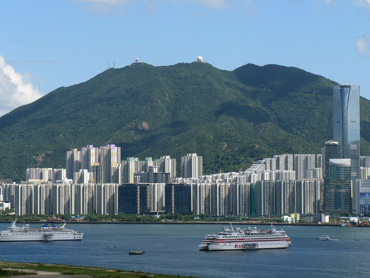
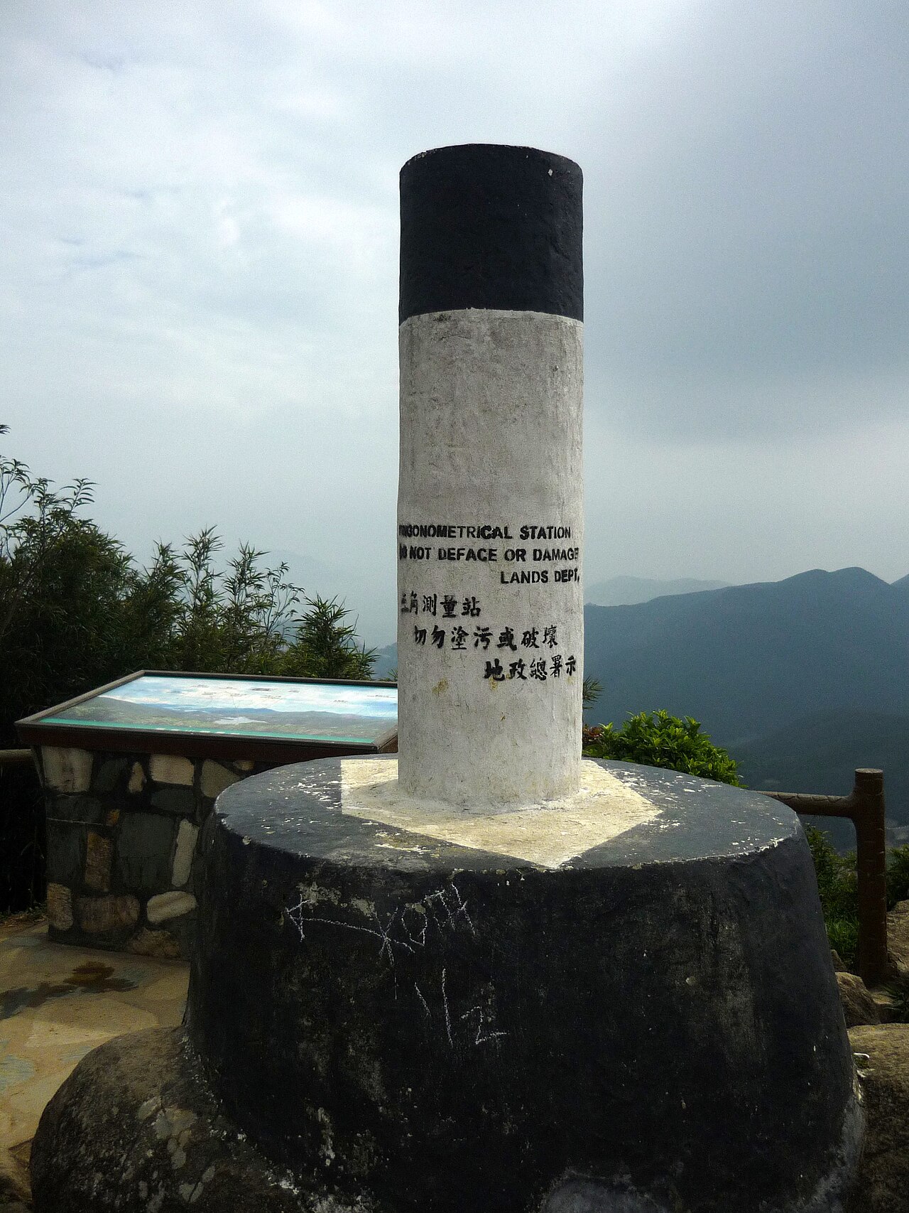
Mount Butler, known locally as 畢拿山 Mount Butler, is a peak in Hong Kong situated within the eastern part of Hong Kong Island. It forms part of the mountain range extending through the Tai Tam area. The summit reaches an elevation that places it among the notable heights on the island, though specific measurements are not recorded. The mountain is primarily composed of natural terrain with hiking trails traversing its slopes, offering visitors access to Hong Kong's rugged interior landscape away from dense urban development.
2026-08-28 kontrol edildi
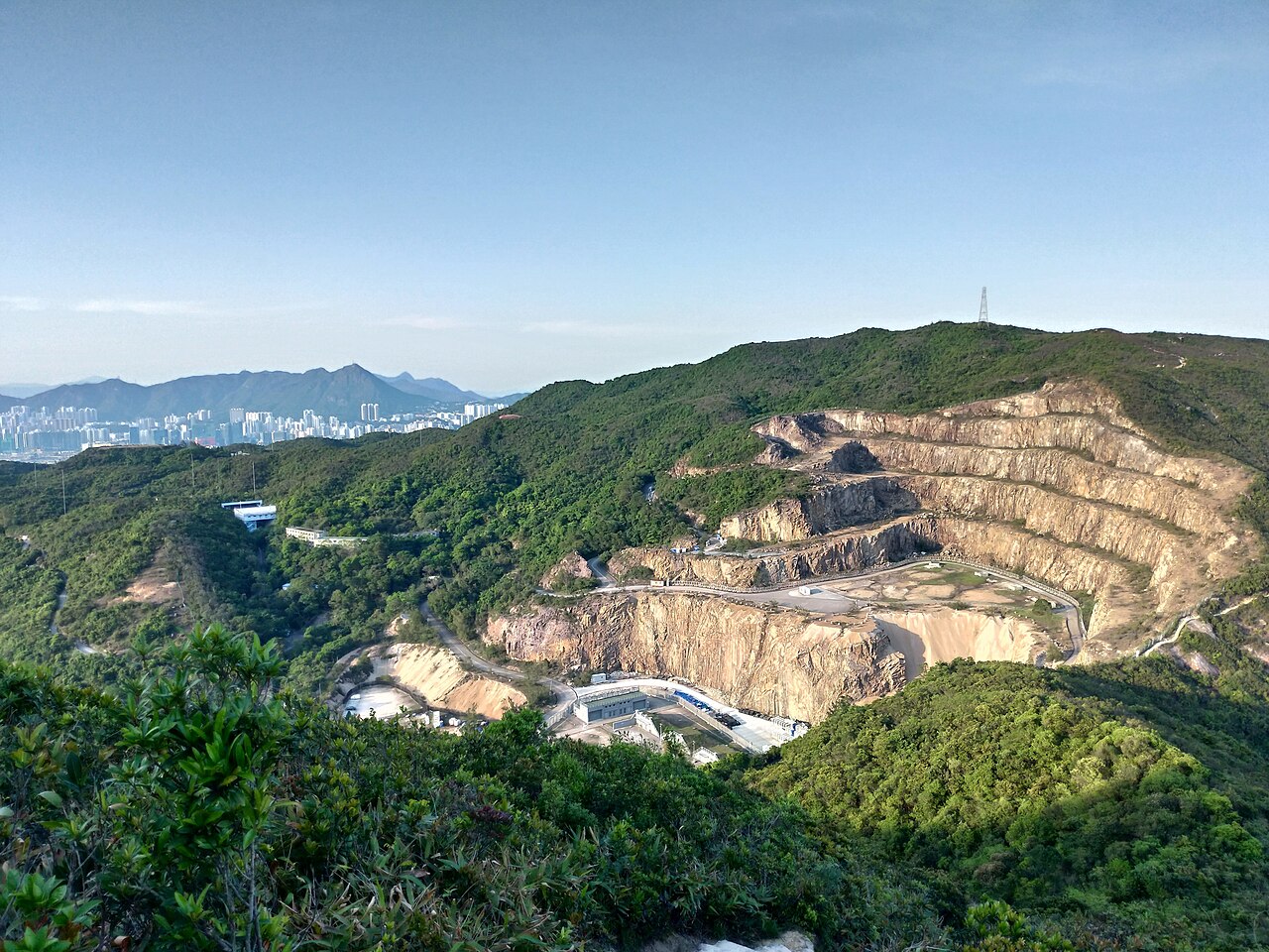
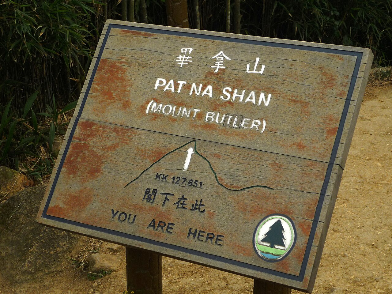
The mountain features natural woodland and scrub vegetation typical of Hong Kong's subtropical environment. Hiking paths connect Mount Butler to surrounding peaks and valleys, including routes toward Tai Tam Reservoir and neighbouring summits. Trail markers and signage are present along established routes. The summit area provides open viewpoints. No built facilities such as visitor centres, restaurants, or shops are documented at the peak itself. The terrain includes steep sections and exposed ridgelines. Water sources and rest stops are not recorded, requiring self-sufficient preparation.
2026-08-28 kontrol edildi
The duration required to hike Mount Butler depends on chosen routes and individual fitness levels. Approaches from various trailheads involve different distances and elevation gains. A typical traverse connecting multiple peaks in the region may occupy several hours of walking time. Rest stops, photography, and weather conditions will extend any estimate. Visitors should consult detailed trail descriptions and allow generous margins for daylight hours. Exact timings for specific routes are not recorded, necessitating personal planning based on mapped distances and topographical difficulty. A flexible visit keeps attention on what is distinctive at Mount Butler without treating one room, viewpoint or photograph as the whole experience. Conditions on arrival should decide the final pace.
2026-08-28 kontrol edildi
Hong Kong experiences hot humid summers and mild dry winters, with typhoon risks during summer and autumn months. Early morning or late afternoon hiking avoids peak heat and strongest sun exposure. Seasonal fog and rain reduce visibility and create slippery trail conditions. Operator-confirmed hours are Not recorded pending review. No staffed gates or controlled access points are documented. Visitors must exercise independent judgement regarding weather forecasts, personal safety, and daylight constraints. The mountain has no artificial lighting for night-time access. Mount Butler also earns time in a hong kong itinerary because its setting and role differ from the surrounding ranked stops. Compare the place with the nearby streets before deciding how it fits the day.
2026-08-28 kontrol edildi
Access to Mount Butler appears unrestricted based on available information. No entrance fees, permits, or reservation requirements are documented for standard hiking access. Operator-confirmed prices are Not recorded pending review. Parking at nearby trailheads may involve government charges where applicable. Public transport costs to approach points depend on origin and mode selected. Visitors should carry sufficient water and provisions as no vendors operate on the mountain. Emergency services contact standard government numbers. No commercial tour operators are specifically recorded for this summit.
2026-08-28 kontrol edildi
Mount Butler is accessible via Hong Kong's trail network, with connections from the Hong Kong Trail and other established paths. Public transport options include buses serving roads near trailheads in the Tai Tam and Chai Wan areas. The nearest MTR stations require onward walking or bus connections. Private vehicles may reach limited parking near some access points. Exact trailhead locations and transport schedules should be verified through official sources. Signage along connecting routes assists navigation, though map consultation remains essential for unfamiliar visitors.
2026-08-28 kontrol edildi
Steep and exposed trail sections present fall risks, particularly in wet conditions. Hong Kong's summer heat and humidity cause rapid dehydration without adequate water carrying. Typhoon warnings require immediate descent and shelter seeking. Limited mobile phone coverage may affect emergency communication in valleys or behind terrain. Wildlife encounters include snakes and aggressive wild boar. No rescue services are stationed on the mountain. Solo hiking carries additional risks. Informing others of planned routes and expected return times represents prudent practice for all visitors.
2026-08-28 kontrol edildi

Summit viewpoints offer perspectives toward surrounding peaks, reservoirs, and distant harbour areas depending on atmospheric clarity. Early morning light provides softer illumination before haze develops. Wide-angle lenses accommodate expansive landscape compositions. The exposed ridgeline permits unobstructed sky shots during clear conditions. Tripod use requires stability assessment on uneven rock surfaces. No restrictions on photography are documented. Drone operation falls under Hong Kong aviation regulations requiring compliance. Weather-dependent visibility significantly affects photographic outcomes, with winter generally offering clearer atmospheric conditions than humid summer months.
2026-08-28 kontrol edildi
Some approaches involve steep and exposed sections requiring reasonable fitness and confidence. Beginners should research specific route difficulty and consider accompanied walks.
No facilities are documented at the summit or along trails. Visitors should plan accordingly before commencing hikes.
Trails become slippery and hazardous when wet. Visibility decreases substantially. Postponement is advisable pending improved conditions.
Formal camping sites are not recorded. Hong Kong has designated camping areas with specific regulations elsewhere.
Carry sufficient water, inform others of plans, carry a charged phone, and know basic first aid. Response times depend on access difficulty.
Specific commercial operators for this peak are not recorded. Self-guided hiking using reliable maps represents the documented access method.
Etkileşimli harita yükleniyor…
Etkileşimli harita yüklenemedi.


Son güncelleme:
Kaynak: OpenStreetMap katkıda bulunanları, Wikidata ·