


7 min walk
Kite Hill Open Space
- Notable
- Nature site
Language · 1 published
Nature site · San Francisco
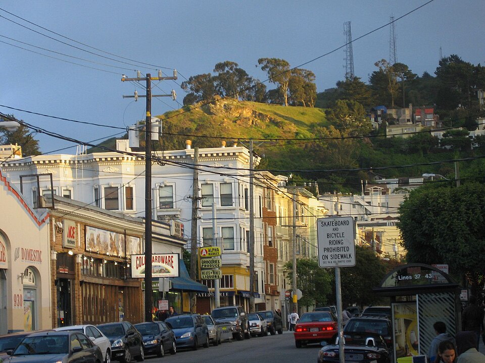
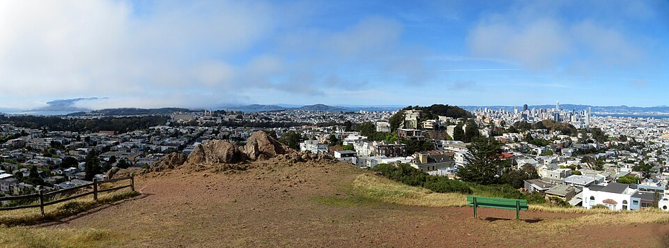
Tank Hill is a small open-space summit in San Francisco, California. It functions as a public park and viewpoint within the city's park system, managed by the San Francisco Recreation and Park Department. The hill offers an unusually close perspective across central San Francisco, making it a notable vantage point despite its modest size. The open-space designation indicates limited developed facilities, preserving natural terrain. Its name derives from historical water tanks that once occupied the site. The park provides urban green space in a residential neighborhood setting.
Checked 2026-08-26
Tank Hill Open Space contains primarily natural hillside terrain with unpaved paths. The summit area provides panoramic viewing opportunities across central San Francisco. Vegetation consists of native and naturalized hillside plants typical of San Francisco's coastal scrub environment. There are no recorded visitor centers, playgrounds, sports courts, or formal gardens. The San Francisco Recreation and Park Department facility listing confirms its open-space classification. Visitors should expect minimal amenities and prepare accordingly. The terrain may include uneven ground and steep sections. Specific facility details beyond basic open-space characteristics are Not recorded.
Checked 2026-08-26
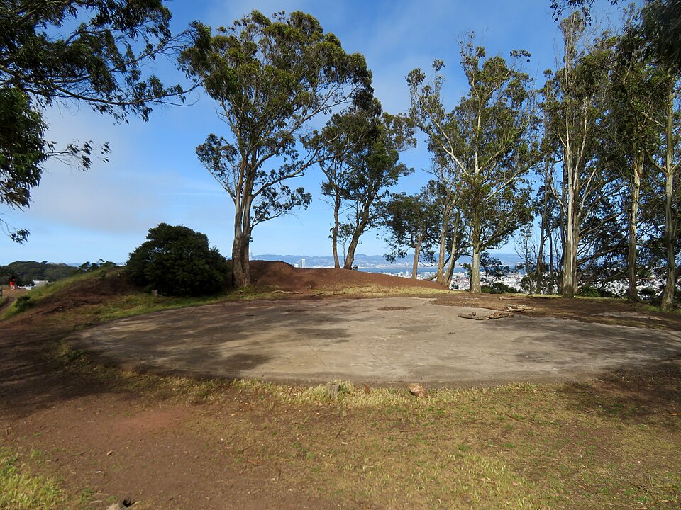
A visit to Tank Hill typically requires brief time commitment due to its small size. Most visitors spend approximately fifteen to thirty minutes for viewing and minimal walking. The compact nature of this open-space summit means extended stays are uncommon unless specifically enjoying the panorama. No recorded guided tours or programmed activities exist. Visitors combining Tank Hill with neighborhood exploration may allocate additional time. Individual pacing varies based on photography interests and physical capability on hillside terrain. The visit duration remains flexible based on personal preference rather than structured programming requirements.
Checked 2026-08-26
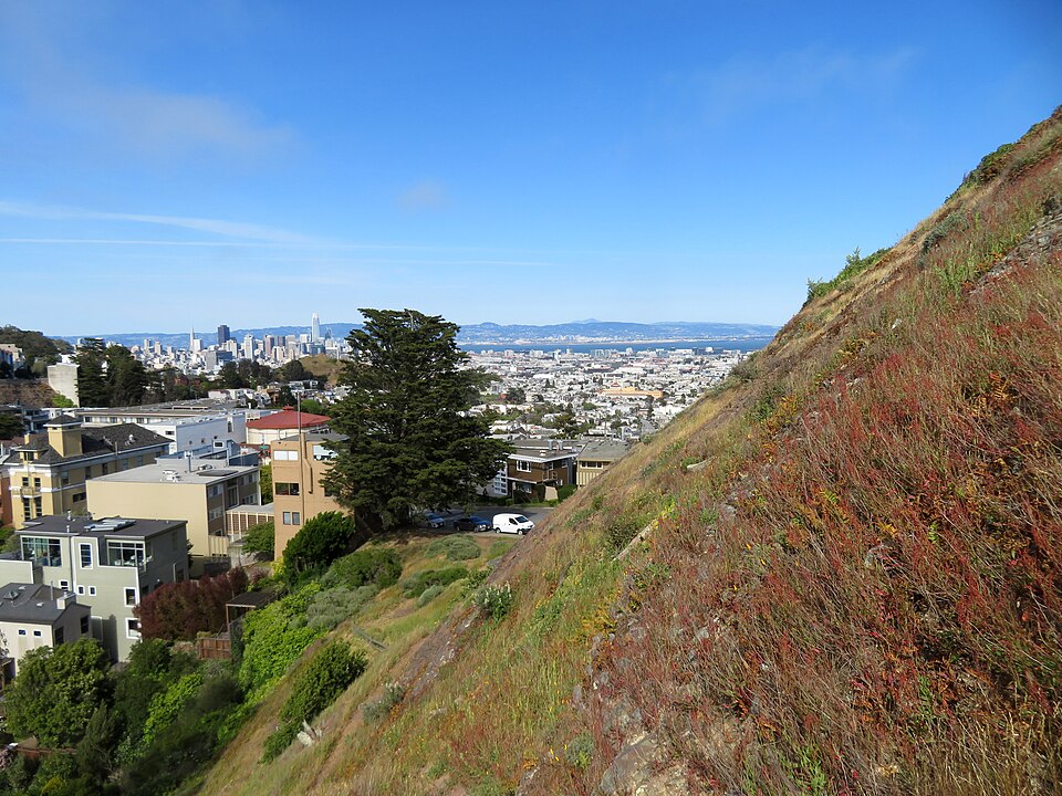
Operator-confirmed hours for Tank Hill Open Space are Not recorded pending review. The San Francisco Recreation and Park Department manages the site; specific opening and closing times are not supplied in available sources. Visitors should verify current access hours through official channels before planning. San Francisco's Mediterranean climate generally offers mild conditions year-round, though morning fog commonly affects visibility during summer months. Clear days provide optimal viewing conditions across central San Francisco. Evening visits may offer sunset perspectives. Seasonal variations in daylight and weather patterns influence practical visiting windows. Personal scheduling flexibility accommodates this unstaffed open-space location.
Checked 2026-08-26
Operator-confirmed prices for Tank Hill Open Space are Not recorded pending review. As a public park facility managed by the San Francisco Recreation and Park Department, no entrance fee is typically anticipated for basic open-space access. However, specific fee structures, reservation requirements for events, or parking charges in surrounding streets are not documented in supplied sources. Visitors should confirm current financial obligations through official city resources. The facility listing does not indicate paid admission components. Standard municipal park regulations apply. Commercial photography permits or special use authorizations may involve separate procedures not addressed here.
Checked 2026-08-26
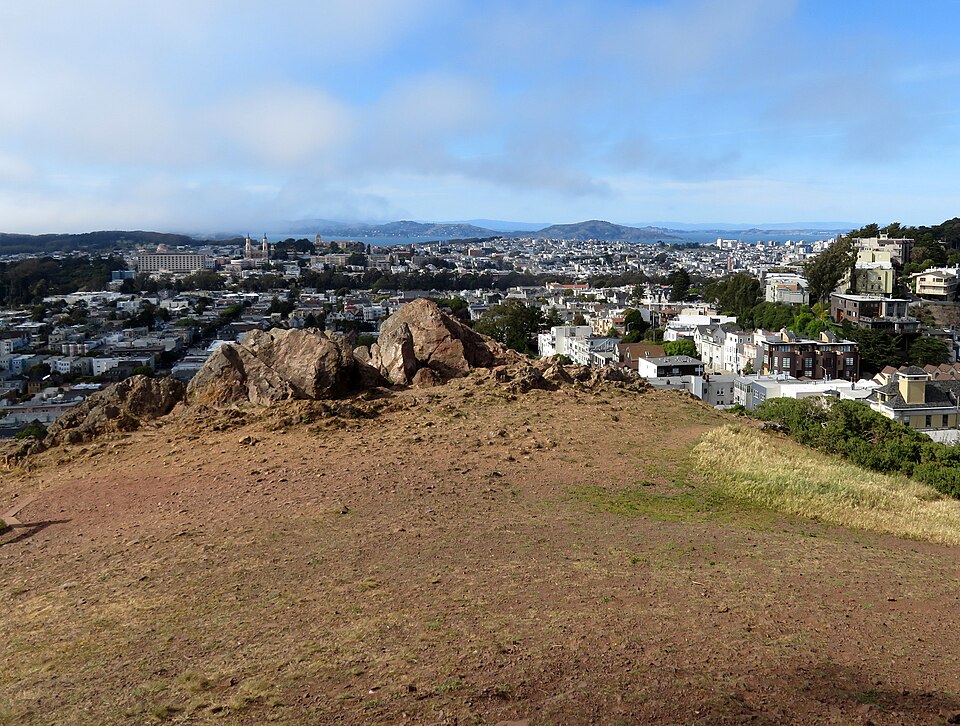
Tank Hill is located in San Francisco's residential area, accessible via city streets. Public transit options include Muni bus routes serving nearby neighborhoods, with walking required to reach the hill itself. Specific route numbers and stop locations are not recorded in supplied sources. Street parking availability in surrounding residential areas varies. The site lacks dedicated parking facilities. Pedestrian access involves hillside walking on unpaved surfaces. Bicycle access is possible though terrain challenges exist. Visitors should consult current Muni schedules and neighborhood maps. The compact size means no internal transportation is needed once arrived.
Checked 2026-08-26
Visitors should exercise caution on unpaved and potentially steep hillside terrain. Natural surfaces may become slippery in wet conditions. Limited lighting suggests daytime visits are prudent. No recorded security personnel or regular patrols are indicated. Standard urban park awareness applies regarding personal belongings. Wildlife encounters are possible though generally limited to common urban species. Vegetation includes thorny or allergenic plants typical of coastal California. Edge areas may have unprotected drops. The open-space designation means emergency facilities are not present. Cell phone coverage is not guaranteed. Visitors with mobility limitations should assess terrain suitability independently.
Checked 2026-08-26
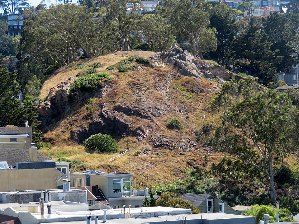
Tank Hill offers notable photography opportunities due to its unusually close view across central San Francisco. The summit vantage suits cityscape and skyline compositions. Best results typically occur during clear weather with minimal marine layer fog. Sunrise and sunset periods provide directional lighting options. Wide-angle lenses accommodate expansive views. Tripod use may be practical given low light conditions. No recorded restrictions on personal photography exist in supplied sources. Commercial or organized photography may require permits through the San Francisco Recreation and Park Department. The small space means limited compositional variety without moving to alternative viewpoints nearby.
Checked 2026-08-26
The open-space terrain with unpaved paths and potential steep sections requires supervision. No playground facilities are recorded. Parental judgment should assess individual child capability.
Restroom facilities are Not recorded in supplied sources. Visitors should plan accordingly given the open-space designation and minimal developed infrastructure.
Specific pet policies are Not recorded. Standard San Francisco park leash laws likely apply. Visitors should verify current regulations through official channels.
The unpaved natural terrain presents accessibility challenges. Specific accommodations are Not recorded. Visitors with mobility considerations should assess conditions independently.
Developed picnic amenities such as tables or grills are Not recorded. The small open-space format suggests minimal built facilities.
Tank Hill offers a closer, more intimate viewpoint with smaller scale. Twin Peaks provides higher elevation and broader scope. Both serve distinct visitor preferences.
Loading the interactive map…
The interactive map could not be loaded.
Last updated:
Source: OpenStreetMap contributors, Wikidata ·