


1 min walk
King's Chapel Burying Ground
- Must see
- Historic monument
Language · 1 published
Historic monument · Boston
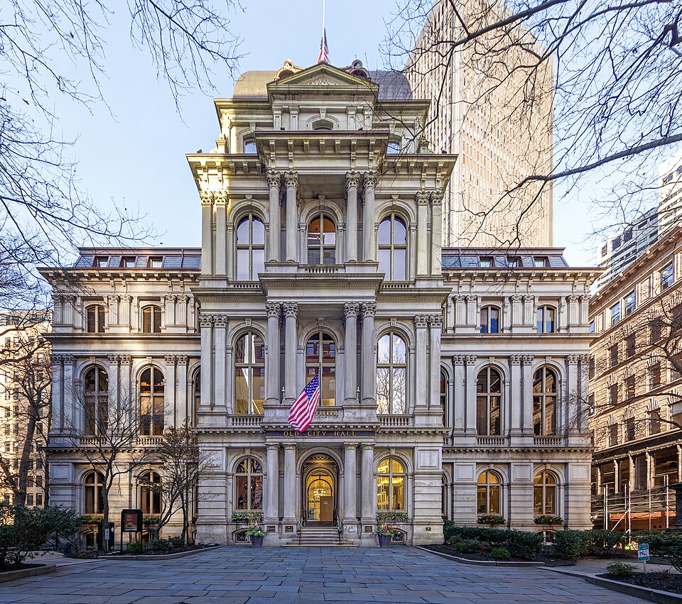
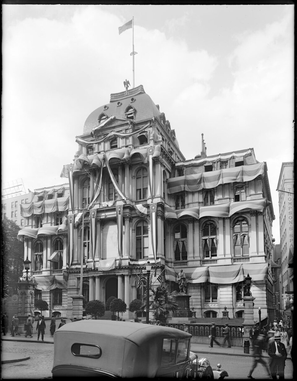
Old City Hall is a Second Empire architectural landmark on School Street in Boston. It served as the seat of municipal government from 1865 to 1969. The building features a distinctive mansard roof, ornate dormer windows, and prominent statuary including a bronze of Josiah Quincy III. Its granite construction and elaborate detailing exemplify post-Civil War civic architecture. The structure occupies a historically significant site near the Old South Meeting House and represents Boston's 19th-century governmental ambitions. It stands as one of the finest preserved examples of Second Empire public architecture in the United States.
Checked 2026-08-26
The interior contains commercial office spaces following adaptive reuse conversion. Original architectural elements including grand staircases, ornamental plasterwork, and period detailing may remain visible in common areas. The building no longer functions as a public municipal facility. Visitors can observe the exterior statuary and architectural features from the street. Interior access is restricted to tenants and their guests. The bronze statue of Josiah Quincy III stands prominently at the School Street entrance. Specific current interior configurations and preserved historical features are Not recorded pending review.
Checked 2026-08-26
Exterior viewing requires approximately fifteen to thirty minutes for architectural appreciation and photography. The School Street facade and adjacent sidewalk permit circumambulation of the primary elevations. Visitors often combine this stop with nearby Freedom Trail sites including the Old South Meeting House and King's Chapel. No guided tours operate from this location. Interior visitation is not available to the general public. Planning thirty minutes allows adequate time for observation without rushing. Extended stays depend on individual interest in architectural photography and historical context.
Checked 2026-08-26

The exterior is visible at all hours from public sidewalks. Optimal lighting for photography occurs during morning and late afternoon hours when sunlight illuminates the School Street facade. Seasonal considerations include Boston's winter snow and summer humidity. Operator-confirmed hours are Not recorded pending review. The building's function as commercial office space means weekday activity may differ from weekend quiet. No seasonal closures of the exterior are anticipated. Visitors should exercise standard urban awareness regardless of time of day. Old City Hall also earns time in a boston itinerary because Second Empire former city hall on School Street; exact identity match. Its value becomes clearer when the stop is compared with the surrounding streets and the other ranked places nearby.
Checked 2026-08-26
No admission fee applies to exterior viewing from public sidewalks. Interior access is not available to the general public. Operator-confirmed prices are Not recorded pending review. No ticketing system operates for this site. Commercial tenants occupy the building under private lease arrangements. Visitors should not attempt unauthorized entry. Nearby Freedom Trail sites may have separate fee structures. Budget-conscious travelers may appreciate this as a no-cost architectural stop. Financial planning should account for potential incidental expenses at surrounding businesses only.
Checked 2026-08-26
Old City Hall stands on School Street in downtown Boston near the Park Street and Government Center transit stations. The Massachusetts Bay Transportation Authority subway provides access via the Green, Red, and Blue lines. Multiple bus routes serve the immediate area. Walking from Boston Common or the Financial District requires five to ten minutes. Street parking is severely limited and expensive where available. Visitors should utilize public transportation or nearby commercial garages. The site lies within the Freedom Trail corridor, permitting sequential pedestrian visitation of adjacent historical landmarks.
Checked 2026-08-26
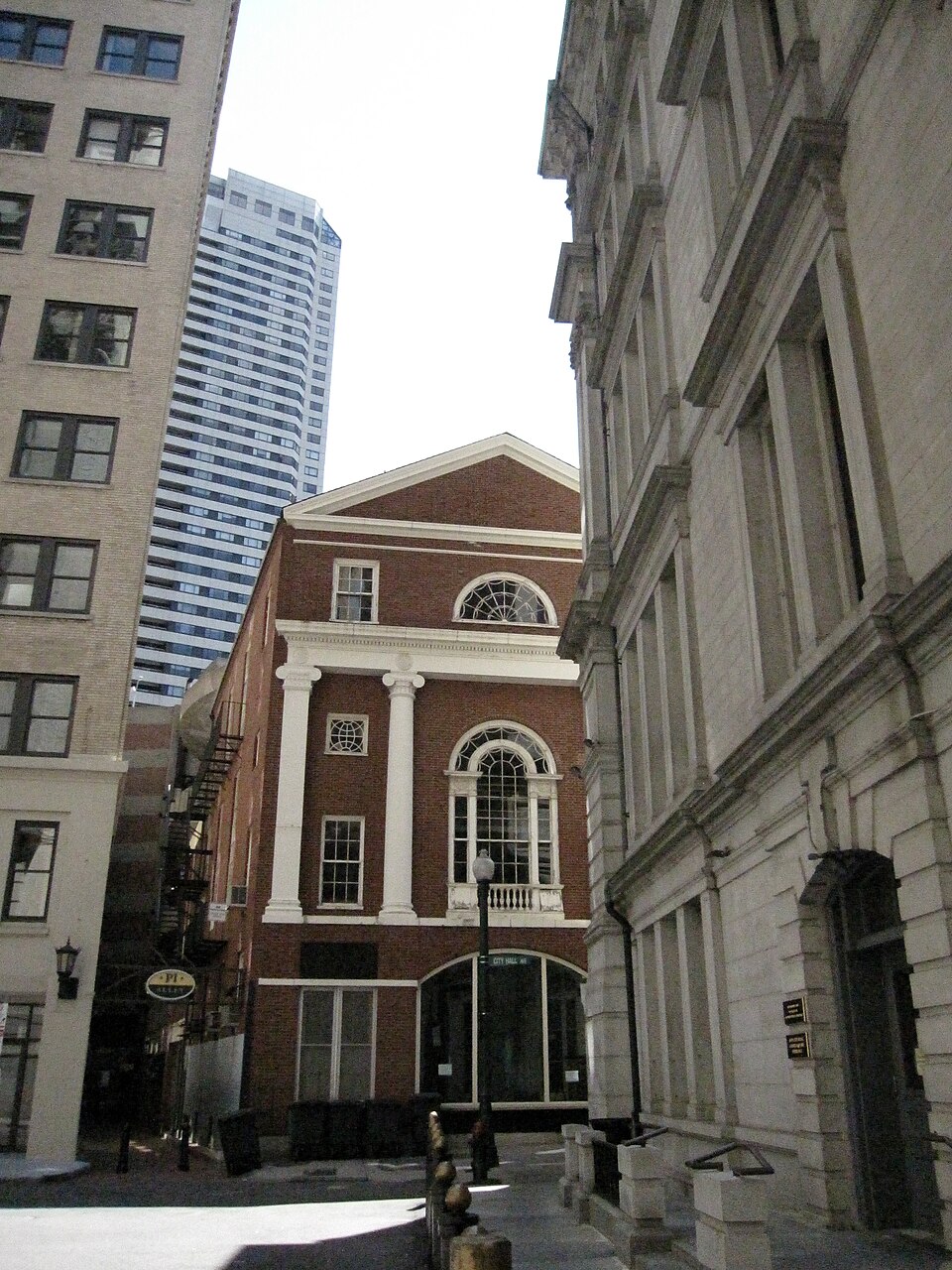
Pedestrian traffic on narrow School Street requires vigilance, particularly during weekday business hours and tourist season. Granite surfaces may become slippery in precipitation. The building's active commercial use demands respect for tenant privacy and property boundaries. No public restrooms are available. Weather exposure is complete with no shelter provided for exterior viewing. Visitors with mobility considerations should note sidewalk conditions and curb heights. Standard urban safety precautions apply regarding personal belongings. Construction or maintenance activity may occasionally limit sidewalk access without advance notification.
Checked 2026-08-26
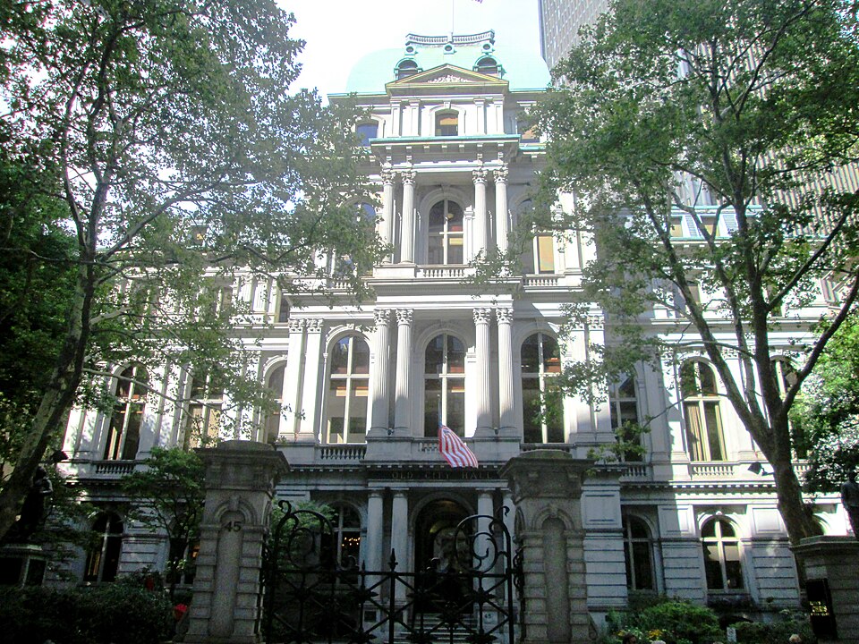
The School Street facade offers the most compositionally complete views including the Quincy statue and mansard roof silhouette. Morning light provides frontal illumination. Wide-angle lenses accommodate the building's height from close sidewalk positions. The adjacent Old South Meeting House creates contextual historical juxtapositions. Tripod use on narrow sidewalks may obstruct pedestrian flow and should be exercised with consideration. Interior photography is not permitted without tenant authorization. Night photography is feasible with available street lighting though results vary. No restrictions on personal photography from public thoroughfares are indicated.
Checked 2026-08-26
No. The building functions as commercial office space with no public interior access.
It stands near the Freedom Trail corridor and adjacent to official trail sites, though its current status on the marked trail is Not recorded pending review.
Construction dates and specific architectural timeline are Not recorded pending review.
No public restrooms are available at this location.
Sidewalk conditions and curb configurations vary; standard urban accessibility challenges may apply.
The building functions as commercial office space under private management; specific current ownership is Not recorded pending review.
Loading the interactive map…
The interactive map could not be loaded.
Last updated:
Source: OpenStreetMap contributors, Wikidata ·