_(10773321993).jpg)
_(10791227245).jpg)
.jpg)
2 min walk
Faneuil Hall
- Must see · Heritage site
- Historic monument
Language · 1 published
Historic monument · Boston
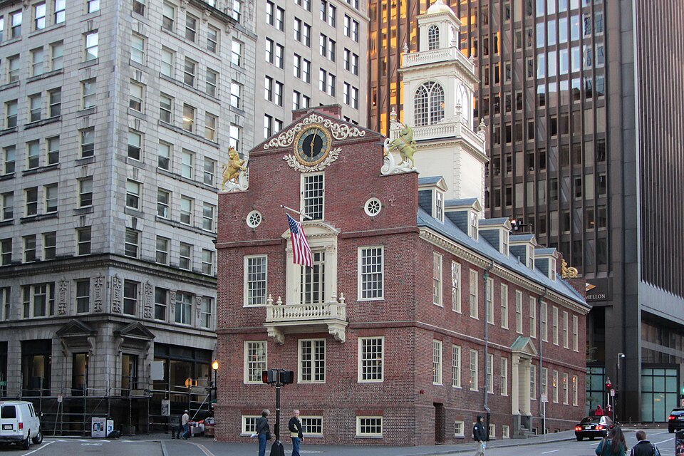
The Boston Massacre Site marks the location of the March 5, 1770 confrontation between British soldiers and colonists that resulted in five civilian deaths. This event became a powerful symbol of British tyranny and helped galvanize colonial resistance leading to the American Revolution. The site is commemorated by a cobblestone circle on the sidewalk near the Old State House in downtown Boston. It forms part of the Freedom Trail, a 2.5-mile path connecting sixteen historically significant sites. The National Park Service recognizes this location as part of Boston National Historical Park. The memorial exists as an outdoor historical marker rather than an enclosed building or museum.
Checked 2026-08-26
The site consists primarily of a circular pattern of cobblestones set into the pavement, marking the approximate location where the confrontation occurred. There is no enclosed structure, museum, or visitor center at this specific location. Interpretive context comes from nearby historical buildings, particularly the Old State House, which contains exhibits related to Revolutionary-era Boston. The surrounding area features other Freedom Trail sites within short walking distance. Visitors should expect an outdoor urban memorial integrated into the pedestrian environment rather than a destination with interior spaces or collections. The physical commemoration is modest in scale but historically significant in meaning.
Checked 2026-08-26
A visit to the Boston Massacre Site itself requires minimal time, typically five to fifteen minutes for observation and reading any available signage. Most visitors incorporate this stop into a broader Freedom Trail walking tour or downtown Boston itinerary. The site merits brief contemplation of its historical significance rather than extended engagement. Visitors frequently combine this location with the Old State House, Faneuil Hall, and other nearby attractions in a half-day or full-day exploration of colonial history. The duration depends entirely on individual interest in reading historical context and photographing the memorial marker within the urban streetscape.
Checked 2026-08-26
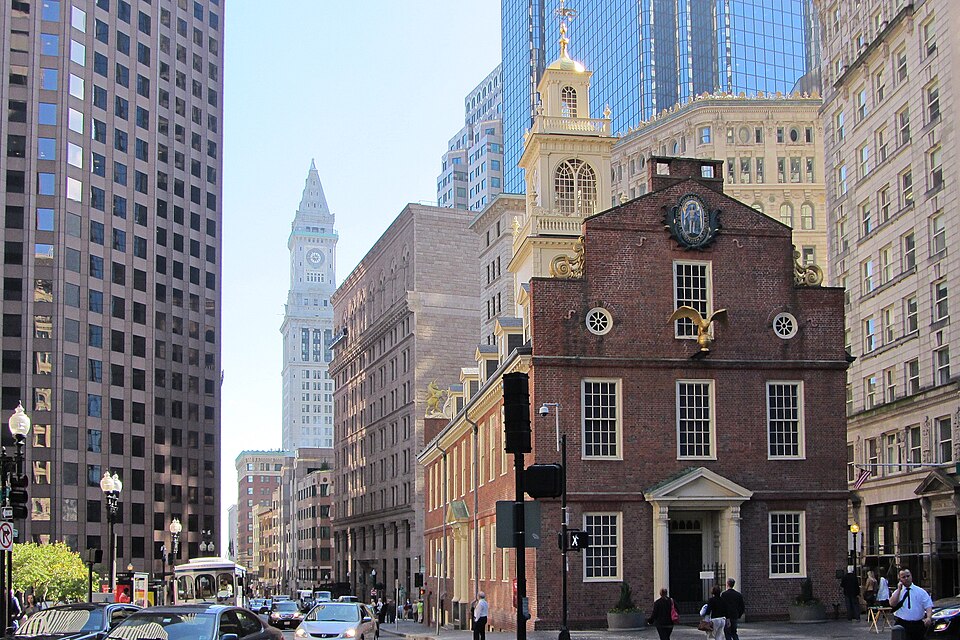
The Boston Massacre Site is an outdoor public memorial accessible at all times as it occupies a city sidewalk. No admission gates or closing mechanisms restrict access. Operator-confirmed hours are Not recorded pending review. Weather conditions affect visitor comfort, with New England winters bringing cold temperatures and potential snow. Summer months draw larger crowds of tourists following the Freedom Trail. Evening visits are possible though lighting conditions may reduce visibility of the cobblestone marker. The site experiences highest foot traffic during midday hours when downtown Boston is busiest. Special commemorative events may occur annually around the March 5 anniversary.
Checked 2026-08-26
No admission fee is required to visit the Boston Massacre Site as it is a public sidewalk memorial. Operator-confirmed prices are Not recorded pending review. The site imposes no ticketing system, capacity limits, or reservation requirements. Visitors following the Freedom Trail access this location without charge as part of their walking route. Nearby attractions such as the Old State House museum may have separate admission fees, but the Massacre Site itself remains freely accessible. No guided tour purchases are necessary, though commercial Freedom Trail tours operated by third parties may include this location in their paid itineraries. Financial planning for this specific stop requires no budget allocation.
Checked 2026-08-26
The site sits at the intersection of State and Devonshire Streets in downtown Boston, directly in front of the Old State House. Accessible via MBTA subway stations including State Street on the Orange and Blue lines, and Government Center on the Green and Blue lines. Multiple bus routes serve the surrounding area. Walking from Boston Common, the traditional Freedom Trail starting point, takes approximately ten minutes. The location is not served by dedicated parking; visitors should utilize public transportation or commercial garages in the downtown area. The site is embedded within a dense urban environment with pedestrian-oriented street design typical of historic Boston core.
Checked 2026-08-26
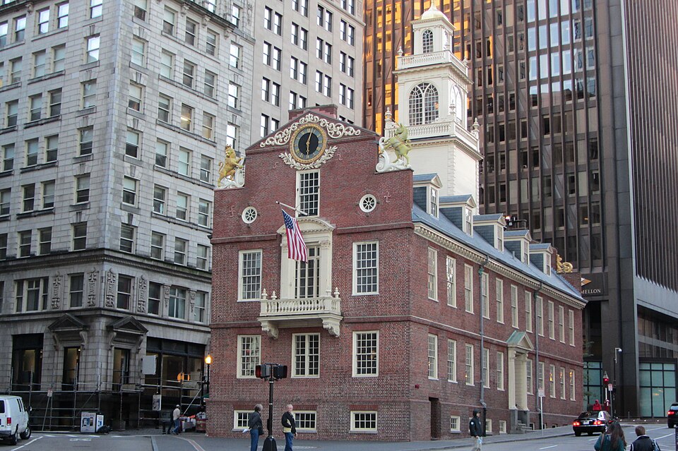
The memorial occupies an active city sidewalk with constant pedestrian and vehicular traffic in surrounding streets. Visitors should remain aware of surroundings and not obstruct foot traffic flow. The cobblestone circle may become slippery in wet or icy conditions. No protective barriers separate visitors from street traffic. Downtown Boston experiences significant congestion during weekday business hours and event periods. The marker can be partially obscured by pedestrians, street furniture, or snow accumulation. Visitors should exercise standard urban safety precautions regarding personal belongings. The site offers no shelter from weather elements. Interpretive signage may be limited; prior research enhances meaningful engagement with this location.
Checked 2026-08-26
Photography is permitted without restriction at this outdoor public memorial. The cobblestone circle presents photographic challenges due to its ground-level placement and constant pedestrian presence. Optimal images may require patience waiting for clear moments or elevated angles. The Old State House facade provides architectural context in compositions. Lighting conditions vary significantly; overcast skies may reduce harsh shadows on the pavement marker. Tripod use may impede sidewalk traffic and should be exercised with consideration for pedestrians. No flash restrictions apply. Commercial photography or filming may require permits from relevant city authorities. Night photography is possible but the site lacks dedicated illumination highlighting the memorial specifically.
Checked 2026-08-26
No. The site is an outdoor memorial consisting of a cobblestone circle in the sidewalk. There is no enclosed building or museum at this location.
No admission fee is required. The site is a public sidewalk memorial freely accessible at all times.
Look for the cobblestone circle on the sidewalk near the Old State House at the intersection of State and Devonshire Streets in downtown Boston.
Yes. The Boston Massacre Site is one of the sixteen official stops along Boston's Freedom Trail.
No dedicated tours operate solely for this location. It is typically included in broader Freedom Trail walking tours offered by various commercial and nonprofit operators.
On March 5, 1770, British soldiers fired into a crowd of colonists, killing five people in an event that became known as the Boston Massacre and helped fuel revolutionary sentiment.
Loading the interactive map…
The interactive map could not be loaded.
Last updated:
Source: OpenStreetMap contributors ·