
.jpg)
.jpg)
.jpg)
.jpg)
.jpg)
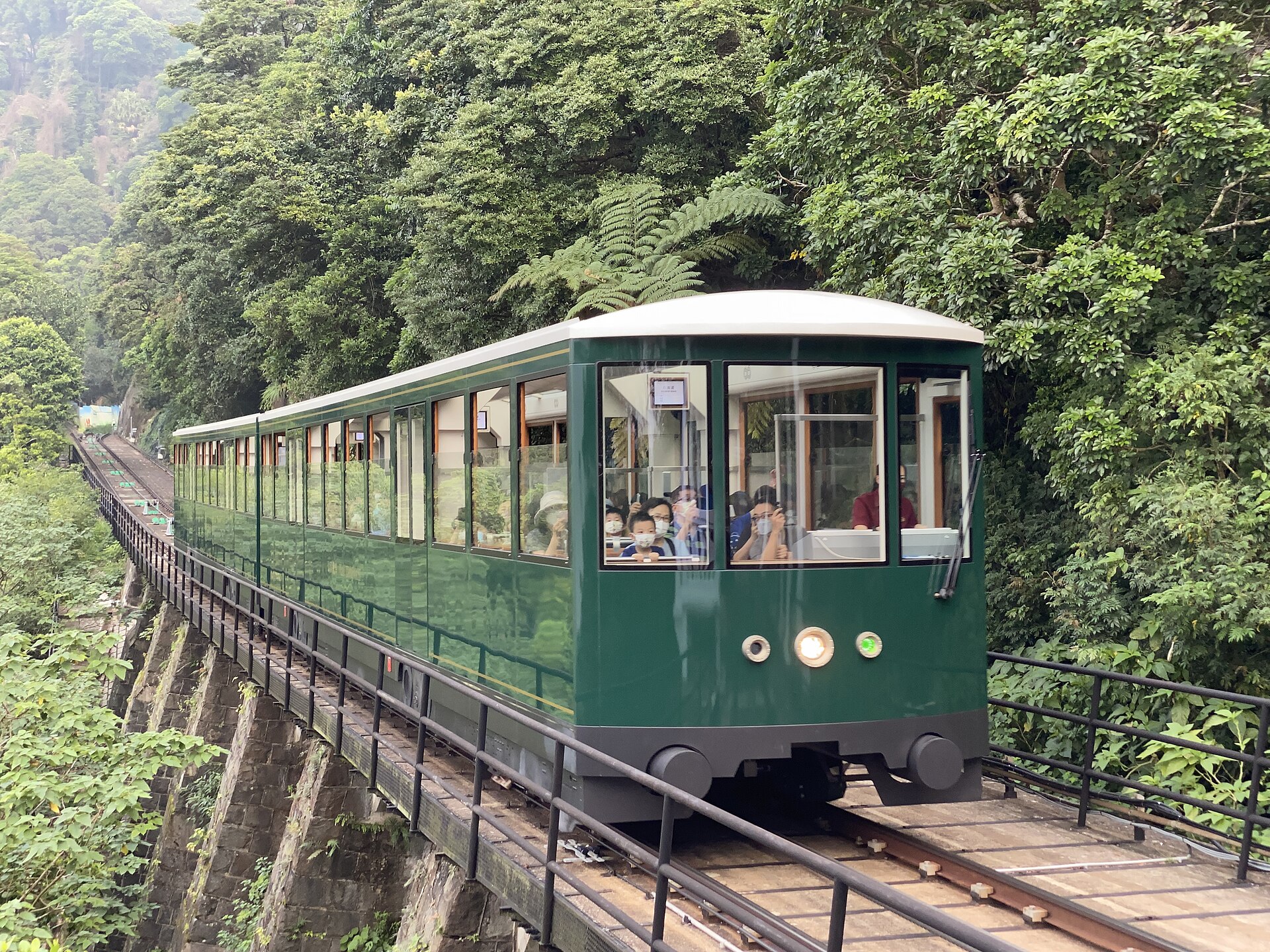
8 dk yürüyüş · 中西區 Central and Western District
山頂纜車 Peak Tram
- Mutlaka görülmeli
- Tarihi anıt
Dil · 11 yayınlandı
Tarihi anıt · 中西區 Central and Western District, Hong Kong
山頂 The Peak
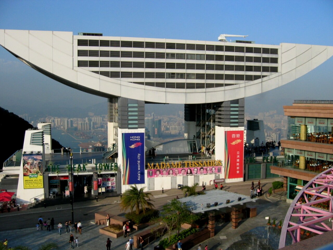
The Peak is Hong Kong's highest hill on Hong Kong Island, standing as the city's most famous vantage point. Known locally as 山頂, it offers panoramic views across Victoria Harbour, the skyline, and surrounding islands. The area developed as a residential district for colonial administrators seeking cooler temperatures above the humid city centre. Today it combines natural landscape, historic colonial architecture, and commercial tourism facilities. The Peak Tram, operating since 1888, remains an iconic approach. The summit area includes public viewing terraces, shopping, and dining venues. It represents both Hong Kong's natural geography and its transformation into a major international tourist destination.
2026-08-26 kontrol edildi
The Peak contains several distinct areas. The Peak Tower and Peak Galleria are commercial complexes housing restaurants, shops, and viewing facilities. The Sky Terrace 428 provides elevated observation space. Victoria Peak Garden offers landscaped public grounds at the summit. The historic Peak Tram terminus serves as both transport hub and heritage feature. Walking paths including the Peak Circle Walk connect various viewpoints through wooded areas. Mount Austin Road and Barker Road contain preserved colonial-era residences. The area mixes managed commercial spaces with accessible natural terrain, allowing visitors to choose between developed amenities and informal exploration of the hillside environment.
2026-08-26 kontrol edildi

A basic visit to The Peak requires approximately two to three hours, including transit time from Central district. This allows for the tram journey, time at viewing platforms, and brief exploration of commercial facilities. Visitors seeking to walk the Peak Circle Trail or explore summit gardens should allocate four to five hours. Extended visits incorporating multiple walking routes, meals at summit restaurants, or waiting for optimal visibility conditions may extend to half a day. Duration varies significantly with weather, as harbour views can be obscured by cloud or haze without warning, potentially reducing or extending intended stays.
2026-08-26 kontrol edildi
Clear visibility conditions are essential for the primary viewing experience, making weather forecasting important when planning visits. Early morning and late afternoon often provide better atmospheric clarity than midday haze. Sunset timing allows combined day and night viewing when conditions permit. Operator-confirmed hours are Not recorded pending review. Evening visits after dark offer illuminated cityscape views, though return transport demand increases substantially. Weekends and public holidays experience heavier visitor volumes. The summer monsoon season brings increased humidity and reduced visibility probability. Typhoon periods may cause temporary closure of exposed facilities and suspension of the Peak Tram service.
2026-08-26 kontrol edildi
Multiple components require separate consideration. The Peak Tram operates as a fare-based service. Viewing terraces within commercial complexes may impose separate access charges. Operator-confirmed prices are Not recorded pending review. Some walking paths and garden areas remain freely accessible without payment. Restaurant and retail transactions follow standard commercial pricing. Visitors should verify current fare structures directly with transport and facility operators before travel, as pricing frameworks may change. Combination packages may be available through various booking channels. Payment methods in Hong Kong typically include Octopus card, cash, and major electronic payment systems, though specific acceptance varies by individual vendor within The Peak complex.
2026-08-26 kontrol edildi

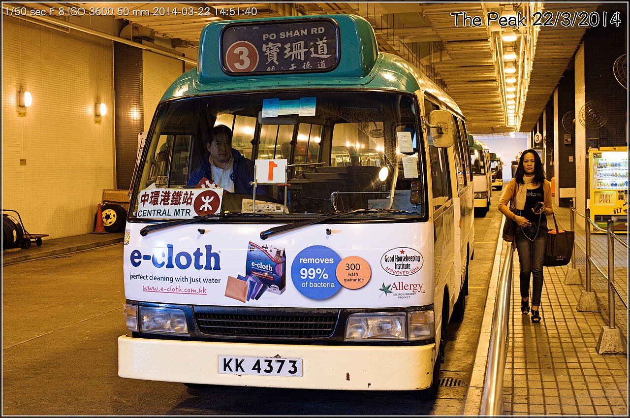
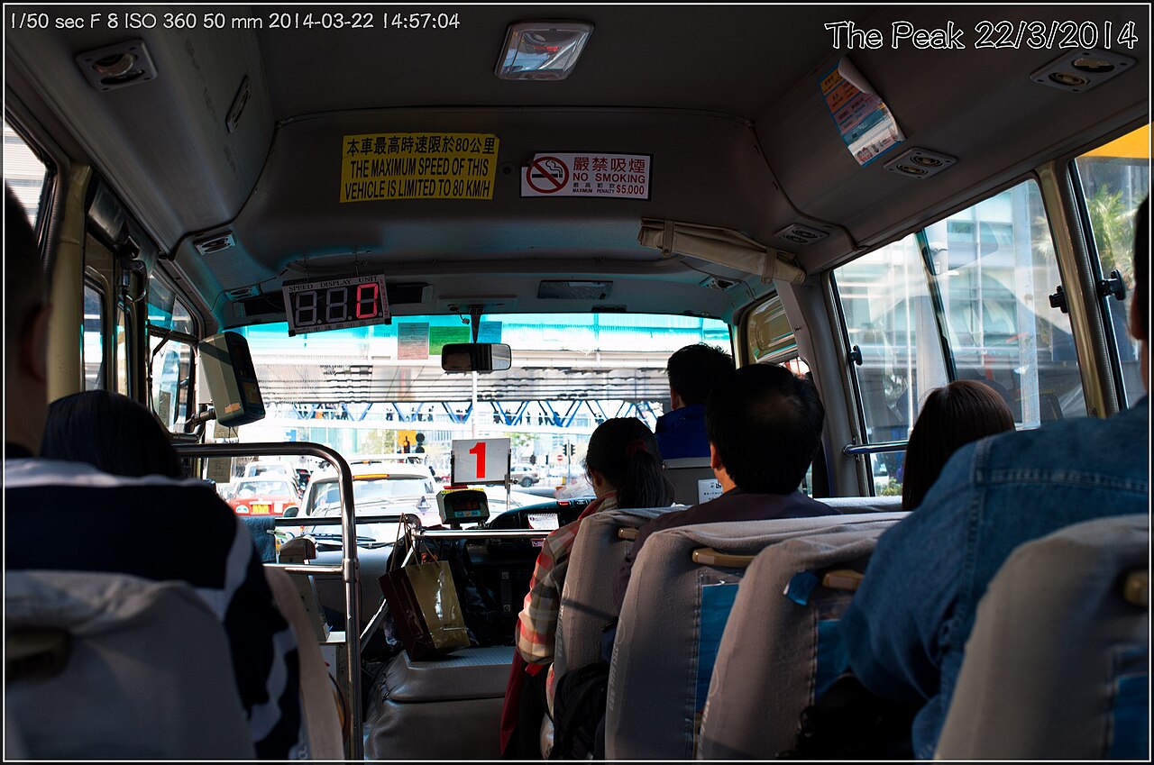
The Peak Tram departs from Garden Road in Central district, providing the most recognised approach. The funicular railway ascends steeply through residential zones to the summit terminus. Alternative transport includes public bus services from Central and other Island locations. Taxi and private vehicle access follows Peak Road and Harlech Road, though parking availability is restricted. Walking routes from Mid-Levels exist for physically prepared visitors, involving substantial elevation gain. The tram terminus connects directly to The Peak Tower commercial complex. Transport choice affects both cost and experience, with the tram offering distinctive operational character despite potentially lengthy queuing during peak visitor periods.
2026-08-26 kontrol edildi
Weather changes rapidly; summit fog can eliminate visibility entirely without warning. The tram experiences significant queuing during peak periods; alternative transport may be preferable when time-constrained. Summit temperatures run cooler than central districts; appropriate layering is advisable. Walking paths include steep sections and variable surfaces; suitable footwear is necessary. Commercial areas contain aggressive retail solicitation in some venues. Crowd density peaks during evening hours and weekends, affecting movement and photography conditions. Mobile network coverage may vary on walking paths. The exposed summit position offers limited shelter during rain. Evening descent transport demand frequently exceeds immediate capacity, requiring patience or advance planning.
2026-08-26 kontrol edildi
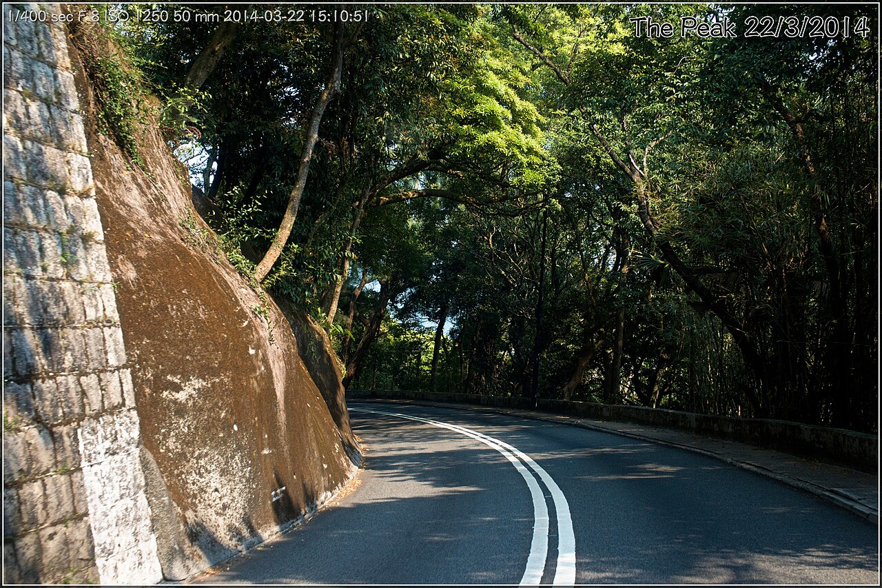
The primary photographic subject is the panoramic harbour and skyline view, best captured during clear atmospheric conditions. The Sky Terrace 428 and surrounding platforms provide elevated perspectives. Early morning and twilight periods offer favourable natural lighting. Night photography of illuminated buildings requires stability support due to low light and wind exposure. The tram journey itself presents steep-angle urban photography opportunities. Walking paths provide alternative framing perspectives away from commercial crowds. Weather unpredictability necessitates flexible scheduling for dedicated photography visits. Tripod use may be restricted in some commercial viewing areas; verification advisable. The dense urban backdrop contrasts sharply with foreground natural elements along trail routes.
2026-08-26 kontrol edildi
No. The Peak is the highest hill on Hong Kong Island, but not the highest point in the entire territory. Tai Mo Shan in the New Territories reaches greater elevation.
Yes. Public buses, taxis, and walking routes from Mid-Levels provide alternative access to the summit area.
Some walking paths and garden areas offer views without charge, though major commercial viewing terraces may require payment.
Service suspension occurs during typhoon conditions or severe weather that affects safe operation on the steep track.
Three to four hours allows for transit, viewing platforms, and brief exploration, though weather conditions may necessitate adjustment.
The supplied sources do not specify advance booking requirements; visitors should verify current arrangements directly with the operator.
Etkileşimli harita yükleniyor…
Etkileşimli harita yüklenemedi.


Son güncelleme:
Kaynak: OpenStreetMap katkıda bulunanları, Wikidata ·