Attività · Lima
Costa Verde
Fotografia

- Oggi
- Orari non registrati
- Durata della visita
- 2 ore
- Accessibilità
- Non registrato
- Prezzo
- Non registrato
- Posizione
- Da non perdere
- Rango
- Classifica 23 di 9,331
Informazioni su Costa Verde
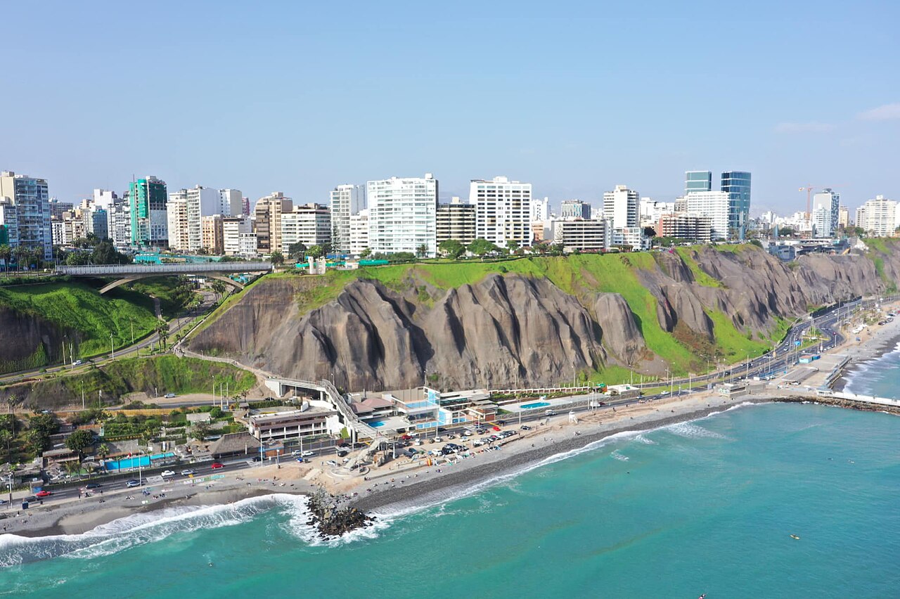
Costa Verde is Lima's coastal corridor, a strip of land along the Pacific Ocean connecting multiple districts including Miraflores, Barranco, and Chorrillos. The area is defined by its dramatic high-cliff landscape that drops to beaches below. It functions as a recreational zone for residents and visitors, integrating natural coastal scenery with urban accessibility. The corridor represents a distinctive geographical feature of Lima, where desert meets ocean in a steep escarpment formation unusual for major coastal cities. Costa Verde also earns time in a lima itinerary because WIKIDATA_EDITORIAL reconciliation for the ranked entry; identity and coordinates were verified without a nearby fallback. Its value becomes clearer when the stop is compared with the surrounding streets and the other ranked places nearby.
Controllato 2026-08-26
Cosa c'è dentro
The corridor contains beaches accessible via paths down the cliffs, with some locations known for surfing conditions. Cycling routes run along sections of the upper cliff level. Parks and viewpoints are positioned at various points offering ocean vistas. The Malecón in Miraflores forms part of this coastal system with its pedestrian walkways. Individual beaches have distinct characteristics and accessibility levels. The cliff-top areas include green spaces and some commercial establishments. The physical environment combines eroded geological formations with maintained recreational infrastructure.
Controllato 2026-08-26


Quanto tempo dedicare
A thorough exploration of Costa Verde's full extent requires substantial time given its multi-district span. Visitors typically allocate portions of a day to specific segments rather than the entire corridor. Beach visits involve additional time for cliff descent and ascent. Cycling the connected routes permits covering more distance efficiently. Surfing sessions depend on individual schedules and conditions. Viewing sunset from cliff-top positions is a common temporal anchor for visits. The flexible nature of the space allows brief stops or extended engagement.
Controllato 2026-08-26


Stagione e folla
Lima's coastal climate features persistent cloud cover for much of the year, with clearer conditions typically occurring in summer months. Morning fog often burns off by afternoon. Surf conditions vary seasonally. Operator-confirmed hours for any specific facilities or managed areas within Costa Verde are Not recorded pending review. Visitors should verify current access conditions locally. The corridor remains physically accessible at all hours for public thoroughfares, though individual beach access points may have variable availability. Evening visits offer sunset viewing opportunities when atmospheric conditions permit.
Controllato 2026-08-26
Biglietti
Costa Verde functions primarily as public coastal access, with no comprehensive entry fee for the corridor itself. Specific beaches or facilities within the zone may have individual arrangements. Parking fees may apply at certain access points. Equipment rental for surfing or cycling operates through private vendors with variable pricing. Operator-confirmed prices for any services, rentals, or managed access points are Not recorded pending review. Visitors should expect to negotiate or confirm costs directly with service providers. Budget considerations should include transportation between distributed access points.
Controllato 2026-08-26


Come arrivare
Multiple districts provide entry points to Costa Verde including Miraflores, Barranco, and Chorrillos. Public bus routes serve corridors parallel to the coast with walking access required to reach cliff edges. The Metropolitano bus system connects to nearby stations. Taxis and ride services can access specific points. Cycling from central Lima districts is feasible for active visitors. Cliff-top roads exist for vehicular access to certain viewpoints. Pedestrian connections from inland neighborhoods vary in directness. Signage quality differs across the corridor's length. A flexible visit lets travellers connect Costa Verde with the rest of the day without treating one room, viewpoint or photograph as the whole experience. The useful pace depends on personal interest and conditions on arrival.
Controllato 2026-08-26


A cosa prestare attenzione
The cliff terrain presents erosion hazards and unstable edges in unmaintained sections. Descent paths to beaches vary in condition and security. Pacific currents create dangerous swimming conditions at some locations; local knowledge should guide water entry. Fog reduces visibility suddenly. Nighttime navigation of cliff paths requires caution. Petty theft occurs in tourist-frequented areas. Traffic on cliff-top roads demands pedestrian awareness. Surf conditions change rapidly. The steep topography complicates emergency access from beaches. Visitors should assess personal fitness for cliff ascents.
Controllato 2026-08-26

Fotografia
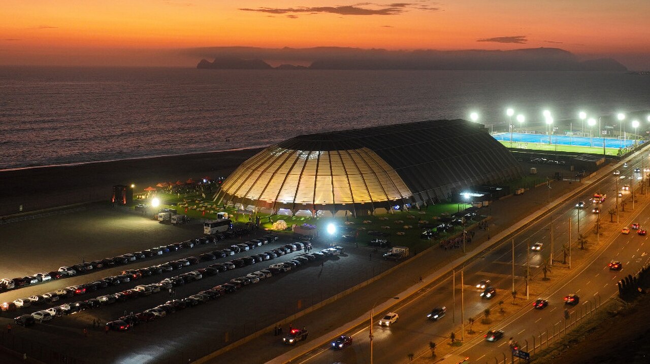
The high-cliff perspective offers distinctive elevation over Pacific horizons. Sunset positioning depends on seasonal solar track and cloud interference. Morning fog creates atmospheric conditions with limited visibility. The eroded cliff face provides textural geological subjects. Beach scenes require descent to water level. Cyclists and surfers add human activity elements. Wide-angle lenses accommodate the expansive coastal sweep. Tripod use on cliff edges requires stability assessment. The urban-cliff-ocean interface produces compositions unique to Lima's geography. Light quality remains diffused for significant portions of the year.
Controllato 2026-08-26
Domande comuni
Is Costa Verde a single beach or multiple locations for Costa Verde in Lima?
Costa Verde is a coastal corridor spanning multiple districts with numerous beaches and access points rather than one defined location.
Can beginners surf at Costa Verde beaches for Costa Verde in Lima?
Specific beach conditions vary; visitors should assess individual locations and seek local guidance regarding appropriate skill levels.
Is the cliff descent difficult for Costa Verde in Lima?
Path conditions vary significantly by location; some routes are maintained while others are steep and require appropriate footwear and fitness.
Are there restaurants or facilities along Costa Verde for Costa Verde in Lima?
Commercial establishments exist at various points but distribution is uneven; visitors should not assume uniform amenity availability.
Is Costa Verde safe at night for Costa Verde in Lima?
Safety conditions vary by specific location and time; visitors should exercise standard urban caution and avoid isolated cliff paths after dark.
Can I cycle the entire Costa Verde corridor for Costa Verde in Lima?
Cycling routes exist along sections but the full multi-district span may involve gaps or road sharing; route planning is advisable.
Dov'è
Caricamento della mappa interattiva…
Impossibile caricare la mappa interattiva.
Nelle vicinanze
Inseriscilo in un piano
Collegamenti esterni
Ultimo aggiornamento:
Fonte: Contributori di OpenStreetMap, Wikidata ·