
9 dk yürüyüş
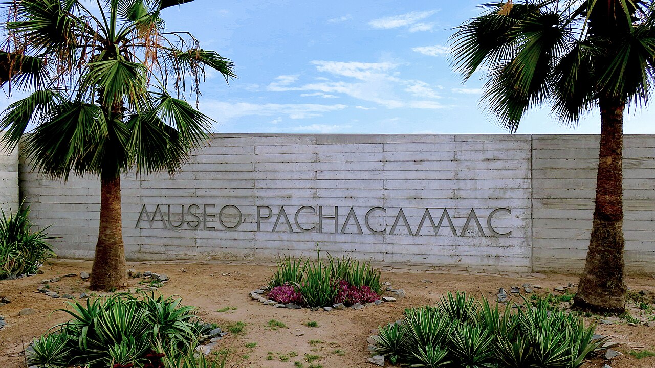
Museo de Sitio y Santuario Arqueológico de Pachacámac
- Mutlaka görülmeli
- Müze
Dil · 11 yayınlandı
Tarihi anıt · Lima
Zona Arqueológica Monumental Pachacámac

Pachacámac is a vast pre-Columbian archaeological site southeast of Lima, Peru. The Zona Arqueológica Monumental Pachacámac served as a major religious center for multiple Andean cultures over approximately 1,500 years before Spanish contact. The site encompasses temples, plazas, and residential complexes across a desert landscape overlooking the Pacific Ocean. Its name derives from the Quechua creator deity Pacha Kamaq. A flexible plan lets travellers connect Pachacámac with nearby ranked stops without inventing practical details that the available source pointers do not confirm.
2026-08-28 kontrol edildi
The archaeological zone contains numerous structures from successive civilizations including the Lima, Wari, Ichma, and Inca cultures. Notable features include the Temple of the Sun, the Temple of Pachacámac, the Painted Temple, and the Acllahuasi. The on-site museum displays excavated artifacts. The site covers extensive terrain with varying elevations. Specific measurements of individual structures are Not recorded. Check the operator's own site for the travel date before relying on a schedule or fare.
2026-08-28 kontrol edildi
Visitors typically allocate several hours to explore the main archaeological areas and museum. The expansive grounds require considerable walking between temple complexes. Those wishing to visit all sectors thoroughly should plan accordingly. Exact recommended duration varies by individual pace and interest level. Guided tours may extend or compress visit length depending on group dynamics and selected route coverage. Pachacámac belongs in this actual displayed route because it remains one of the city's highest-ranked published stops. The useful visit keeps attention on the place itself and current conditions on arrival. Check the operator's own site for the travel date before relying on a schedule or fare.
2026-08-28 kontrol edildi
The coastal desert climate brings minimal rainfall year-round, though morning fog commonly blankets the site before burning off. Afternoon visits may offer clearer visibility. Peak tourist season in Lima generally corresponds with drier Southern Hemisphere summer months from December through March. Visitors should verify current operating status before traveling. A flexible plan lets travellers connect Pachacámac with nearby ranked stops without inventing practical details that the available source pointers do not confirm. Check the operator's own site for the travel date before relying on a schedule or fare.
2026-08-28 kontrol edildi
Admission policies, accepted payment methods, and any applicable discounts for students, seniors, or residents are Not recorded. Potential additional fees for museum entry, guided services, or parking remain unverified. Visitors must consult official institutional channels or arrive prepared to accommodate variable pricing structures at the entrance. Pachacámac belongs in this actual displayed route because it remains one of the city's highest-ranked published stops. The useful visit keeps attention on the place itself and current conditions on arrival. Check the operator's own site for the travel date before relying on a schedule or fare.
2026-08-28 kontrol edildi
Pachacámac lies approximately 40 kilometers southeast of central Lima in the Lurín District. Public transit options include combis and buses serving the Lurín corridor from Lima, though specific routes and schedules are Not recorded. Private vehicle access via the Pan-American Highway South is possible. Taxi and rideshare services operate from Lima. Traffic conditions significantly affect journey duration. Pachacámac belongs in this actual displayed route because it remains one of the city's highest-ranked published stops. The useful visit keeps attention on the place itself and current conditions on arrival.
2026-08-28 kontrol edildi
The desert environment presents intense sun exposure with limited shade across much of the site. Visitors should carry adequate water, sun protection, and appropriate footwear for uneven terrain. Some areas feature steep paths and loose surfaces. The remote location means limited immediate services. Cell phone coverage may be intermittent. Visitors should remain on marked paths to protect archaeological integrity. Pachacámac belongs in this actual displayed route because it remains one of the city's highest-ranked published stops. The useful visit keeps attention on the place itself and current conditions on arrival.
2026-08-28 kontrol edildi
General photography for personal use appears permitted across most open-air areas, though specific institutional policies are Not recorded. Tripod and commercial photography restrictions may apply. Drone operation likely requires special authorization given the protected cultural heritage status. The museum may prohibit flash photography. Visitors should observe posted signage and staff guidance regarding photographic restrictions at specific structures. A flexible plan lets travellers connect Pachacámac with nearby ranked stops without inventing practical details that the available source pointers do not confirm.
2026-08-28 kontrol edildi
Specific operating days and hours are Not recorded. Visitors must verify current schedule through official channels before visiting.
Visitors should consult official sources or prepare for variable pricing at entry. Check the operator's own site for the travel date before relying on a schedule or fare.
Self-guided visitation appears possible given the site's open-air nature, though official policy is Not recorded. Guided services may be available.
Accessibility features and path surfaces are Not recorded. The desert terrain and elevation changes likely present challenges.
On-site amenities and services are Not recorded. The remote location suggests limited commercial facilities; visitors should bring provisions.
Pachacámac represents distinct coastal religious traditions spanning multiple cultures, while Machu Picchu exemplifies highland Inca imperial architecture. Both are significant but culturally and geographically different.
Etkileşimli harita yükleniyor…
Etkileşimli harita yüklenemedi.


Son güncelleme:
Kaynak: OpenStreetMap katkıda bulunanları, Wikidata ·