

2 dk yürüyüş
N Seul Kulesi
- Mutlaka görülmeli · Miras alanı
- Tarihi anıt
Dil · 11 yayınlandı
Manzara noktası · Seul
남산
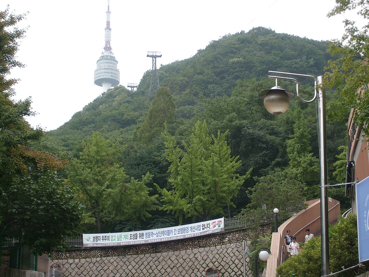
Namsan is a prominent peak in central Seoul, South Korea, with the local name 남산. It rises within the city boundaries and forms a recognizable natural landmark visible from many districts. The mountain has cultural and historical associations with the capital, serving as a recreational and symbolic site for residents and visitors. Its slopes and summit area host several notable structures and viewpoints that draw consistent public interest throughout the year. Namsan also earns time in a seoul itinerary because Exact production identity assigned through pois.city_place_id; stored names and coordinates were copied without approximation. Its value becomes clearer when the stop is compared with the surrounding streets and the other ranked places nearby.
2026-08-26 kontrol edildi
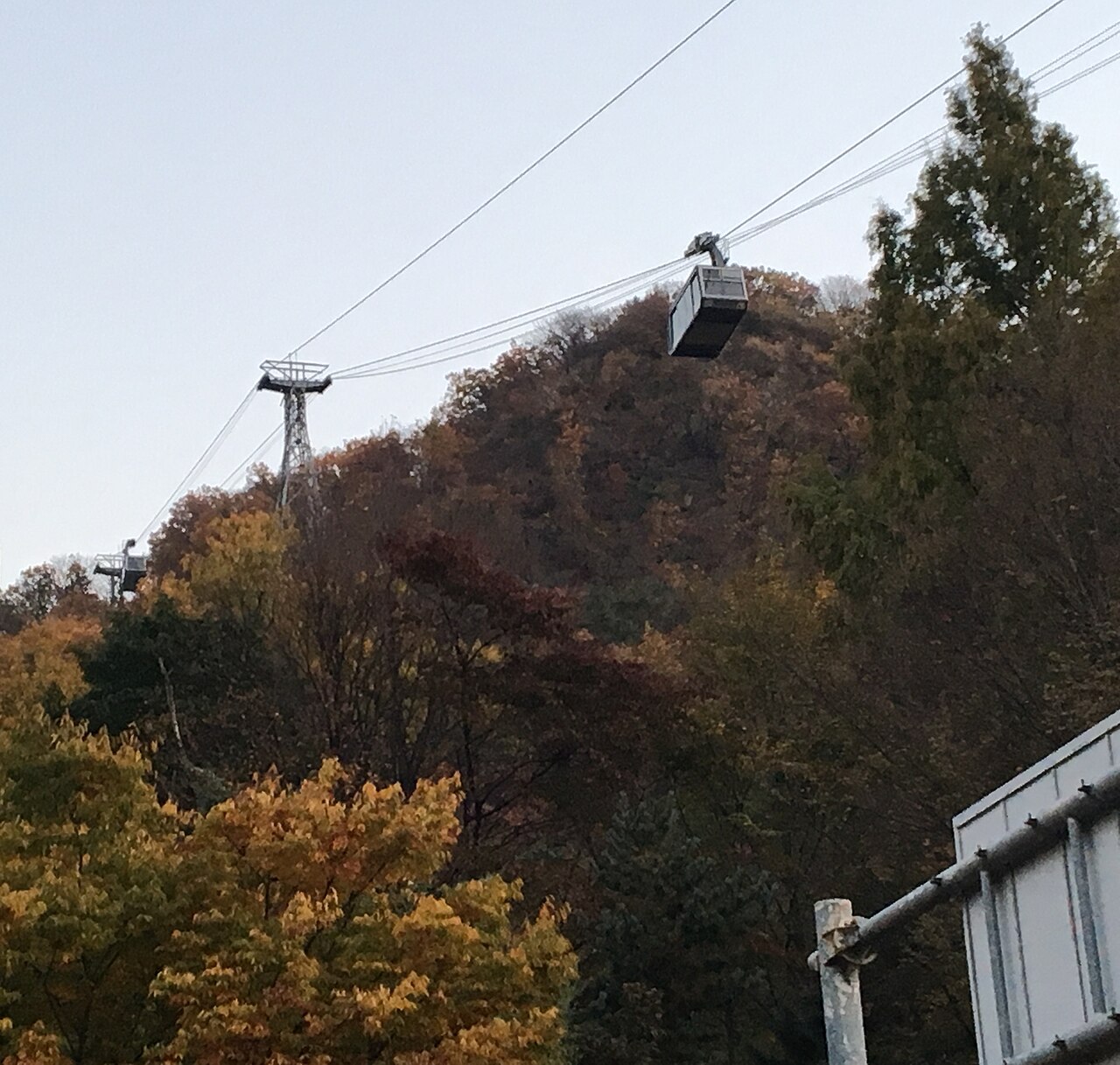
The summit of Namsan contains N Seoul Tower, a communications and observation tower that dominates the skyline. The surrounding parkland includes walking trails, exercise equipment, and landscaped areas. Visitors encounter wooden pagoda structures, fortress wall remnants, and various monuments. The tower complex contains observation decks, restaurants, and retail spaces. Cable car infrastructure connects lower elevations to the summit. The mountain supports diverse vegetation and provides habitat for urban wildlife within the dense metropolitan environment. A flexible visit lets travellers connect Namsan with the rest of the day without treating one room, viewpoint or photograph as the whole experience. The useful pace depends on personal interest and conditions on arrival.
2026-08-26 kontrol edildi

A complete visit to Namsan varies substantially based on chosen activities and transport method. Walking the trails from base to summit requires significant physical exertion and time commitment. Using the cable car reduces transit duration considerably. Time spent at the tower observation decks, dining facilities, or wandering park areas adds variable extensions. Many visitors allocate a half-day period to experience multiple features without excessive haste. Evening visits extend duration for those awaiting darkness and illuminated city views.
2026-08-26 kontrol edildi
Seasonal conditions affect the Namsan experience substantially. Spring brings flowering vegetation and moderate temperatures. Summer introduces humidity and occasional rainfall that impacts trail conditions and visibility. Autumn offers clearer atmospheric conditions and colorful foliage. Winter presents cold temperatures with possible snow accumulation on exposed pathways. Operator-confirmed hours are Not recorded pending review. Visitors should verify current access schedules through official channels before planning. Evening hours attract those seeking illuminated city panoramas regardless of season. The strongest visit keeps attention on what is distinctive here while leaving room for the next stop. That approach makes Namsan useful in both a focused first visit and a slower return to the city.
2026-08-26 kontrol edildi
Access to Namsan park areas and walking trails generally occurs without entry fees. The N Seoul Tower observation decks and certain attractions within the tower complex may require separate payment. Cable car operation involves ticket purchase. Specific pricing structures and available concession categories remain undocumented in the provided source context. Operator-confirmed prices are Not recorded pending review. Visitors should consult official tower and cable car operators for current rate information. Combination packages may exist for multiple paid components.
2026-08-26 kontrol edildi
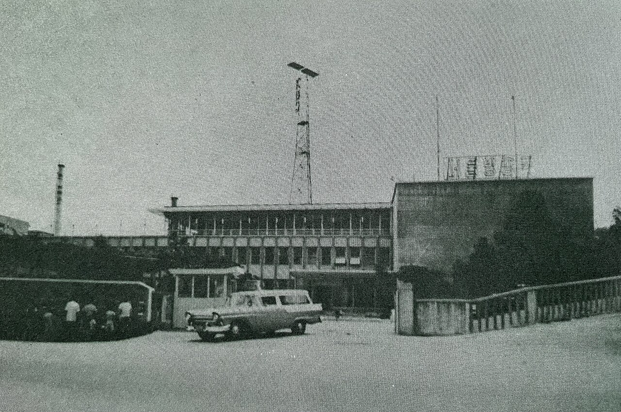
Multiple access routes serve Namsan from surrounding Seoul districts. Walking approaches exist from Myeongdong, Itaewon, and other neighborhoods with varying steepness and distance. Public bus services reach stops near trailheads and cable car stations. The Namsan cable car provides mechanized ascent from a lower terminal. Private vehicles face parking constraints at summit and mid-mountain areas. Taxi and rideshare services can approach base locations. Physical fitness and time constraints should guide transport selection for individual visitors.
2026-08-26 kontrol edildi

Trail surfaces vary in condition and steepness, requiring appropriate footwear and physical preparation. Weather changes occur rapidly on exposed slopes. Crowding concentrates at summit areas, observation decks, and cable car terminals during peak visitation periods. Limited English signage may challenge independent navigation in some areas. Wildlife encounters, while generally benign, warrant respectful distance. Nighttime descent via trails demands illumination and caution due to uneven surfaces. Visitors should carry water and basic supplies as mountain vending options concentrate at developed summit zones.
2026-08-26 kontrol edildi

Namsan offers extensive photographic opportunities across multiple vantage points. The summit provides panoramic cityscape views encompassing dense urban development and distant mountain ranges. Sunrise and sunset periods produce dramatic directional lighting conditions. Night photography captures extensive artificial illumination across the metropolitan area. The tower structure itself presents architectural subjects. Trail environments offer natural compositions with seasonal variation. Crowding at prime viewpoints may obstruct tripod placement and require patience. Weather haze reduces clarity during humid summer periods. Visitors should secure equipment against wind exposure at open summit locations.
2026-08-26 kontrol edildi
The cable car provides mechanized ascent, but summit areas and observation decks may present accessibility challenges. Trail access is generally not suitable for wheelchairs or significant mobility limitations.
Visitors may carry provisions for park areas. The tower complex contains commercial dining options. Specific regulations regarding outdoor consumption are not recorded.
Facilities exist at developed areas including the summit and cable car terminals. Trail access points may have limited or no amenities.
Visibility conditions substantially affect the observation experience. Low cloud cover, fog, or heavy haze may obscure intended views. Visitors should assess conditions before purchasing observation access.
Trails lack comprehensive illumination. Night hiking requires personal light sources and carries increased risk from uneven surfaces. The cable car may not operate during late hours.
Various commercial tour operators include Namsan in Seoul itineraries. Independent exploration is common. Official guided services specific to the mountain are not recorded.
Etkileşimli harita yükleniyor…
Etkileşimli harita yüklenemedi.
Son güncelleme:
Kaynak: OpenStreetMap katkıda bulunanları, Wikidata ·