55 dk yürüyüş
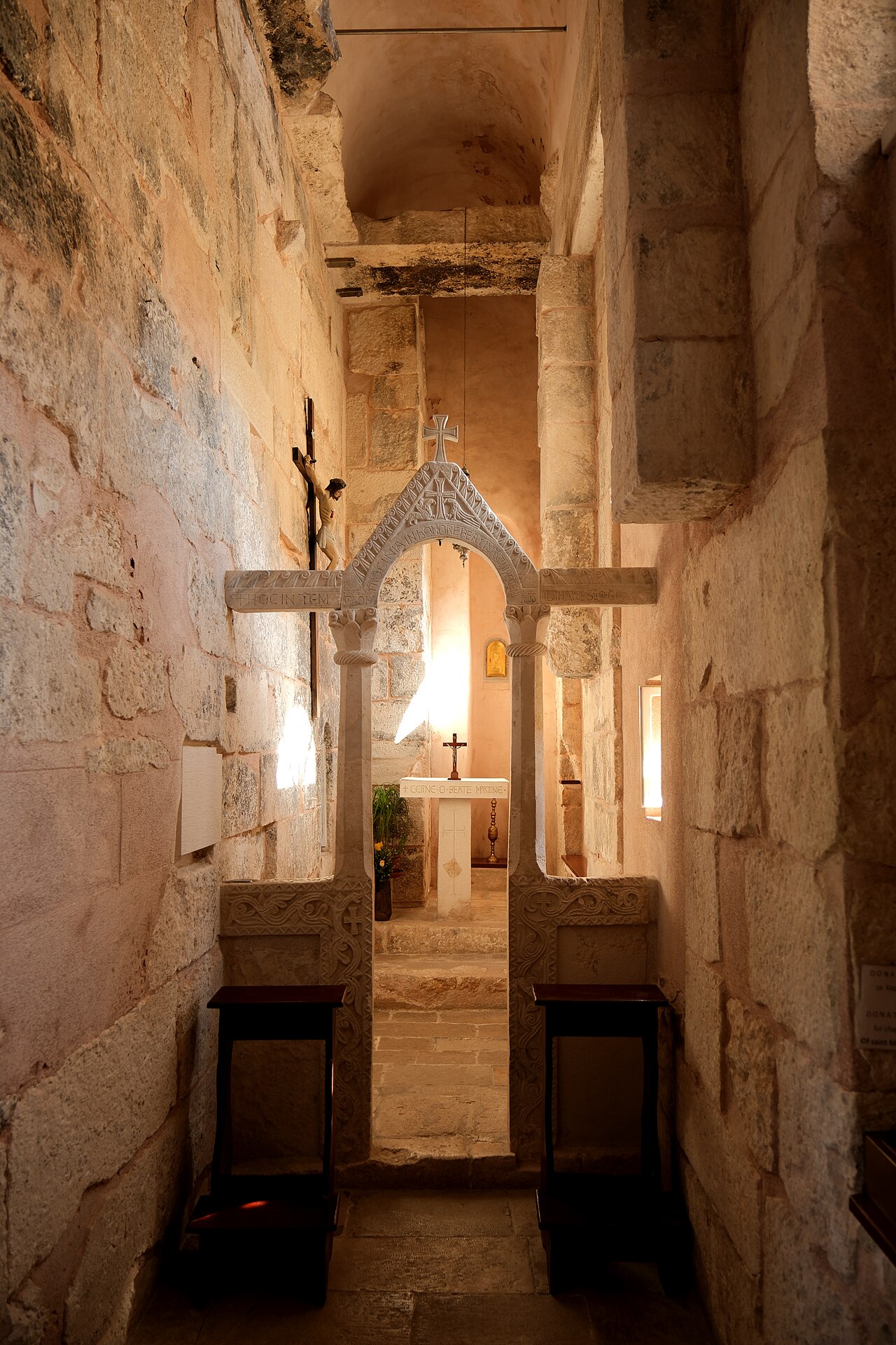
Crkva svetog Martina
- Mutlaka görülmeli
- İbadet yeri
Dil · 11 yayınlandı
Doğal alan · Split
Mosor Mountain rises behind Split as a limestone massif within the Dinaric Alps. The range separates the coastal city from the Zagora hinterland, creating a dramatic backdrop visible from the Riva waterfront. Local hikers and residents treat Mosor as an accessible wilderness escape from urban density. The mountain carries cultural significance for Split inhabitants, who have historically used its slopes for grazing, woodcutting, and seasonal refuge. Its proximity to Croatia's second-largest city makes it an unusual urban-adjacent wildland.
2026-08-26 kontrol edildi
The mountain terrain consists of karst formations, scree slopes, and sparse Mediterranean vegetation. Several marked trails traverse the massif, leading toward higher elevations. The area contains no formal visitor centre, museum, or developed attraction infrastructure. Mountain huts exist at various elevations, serving traditional hiker shelter functions rather than commercial hospitality. Water sources are unreliable and seasonal. The landscape offers exposed ridgelines, limited shade, and views toward Split, the Adriatic islands, and inland Dalmatia on clear days.
2026-08-26 kontrol edildi
A typical ascent from trailheads near Split requires multiple hours of steady walking. Return journeys demand equivalent time. The full traverse of main ridgelines constitutes a full-day commitment for experienced walkers. Casual visitors often underestimate the physical demand relative to the mountain's proximity to the city. Weather conditions can extend journey times substantially. Fog and sudden temperature drops transform straightforward routes into hazardous passages. Visitors should plan conservatively and carry emergency supplies regardless of intended trip duration.
2026-08-26 kontrol edildi
Operator-confirmed hours are Not recorded pending review. The mountain presents different hazards across seasons. Summer heat creates severe dehydration risk on exposed limestone with minimal water availability. Winter brings snow, ice, and dangerous wind conditions at elevation. Spring and autumn offer more moderate temperatures but unpredictable weather. Early morning departures reduce summer heat exposure. Afternoon thunderstorms develop frequently in warmer months, creating lightning danger on exposed ridges. Visitors must verify current conditions independently before departure. A flexible visit lets travellers connect Mosor Mountain with the rest of the day without treating one room, viewpoint or photograph as the whole experience. The useful pace depends on personal interest and conditions on arrival.
2026-08-26 kontrol edildi
Operator-confirmed prices are Not recorded pending review. No formal entrance fee structure applies to Mosor Mountain as undeveloped public wildland. Individual trailheads may have informal parking arrangements with variable local practices. Mountain huts operate on hiker hospitality conventions rather than commercial pricing. Visitors should carry sufficient cash for unexpected needs. No advance booking system exists for mountain access. The absence of managed infrastructure means visitors bear full responsibility for their safety and supply requirements. Mosor Mountain also earns time in a split itinerary because WIKIDATA_EDITORIAL reconciliation for the ranked entry; identity and coordinates were verified without a nearby fallback. Its value becomes clearer when the stop is compared with the surrounding streets and the other ranked places nearby.
2026-08-26 kontrol edildi
Multiple trailheads access Mosor from Split's northern suburbs and surrounding villages. The most frequented approaches begin near Gornje Sitno and similar settlements. Public bus connections serve some trailhead areas with limited frequency. Private vehicle access requires navigating narrow mountain roads with limited parking. Taxis and rideshare services may decline remote drop-offs. Return transport requires planning, as trail endpoints rarely coincide with starting points. Walking routes from central Split add substantial distance before mountain terrain begins. The strongest visit keeps attention on what is distinctive here while leaving room for the next stop. That approach makes Mosor Mountain useful in both a focused first visit and a slower return to the city.
2026-08-26 kontrol edildi
Karst terrain conceals sinkholes and unstable footing beneath apparently solid surfaces. Loose scree causes frequent slips and ankle injuries. Limited mobile phone coverage prevents emergency communication across much of the massif. Water scarcity demands carrying substantial supplies. Marked trails can become indistinct in fog or after vegetation growth. Hunting activity occurs seasonally. Rapid weather changes transform conditions without warning. Solo hiking carries elevated risk given these factors. Informing others of intended routes and return times provides basic safety protocol.
2026-08-26 kontrol edildi
Mosor offers expansive panoramic photography opportunities from cleared viewpoints along main ridges. Early morning and late afternoon light quality improves coastal visibility toward Split and the islands. Midday haze frequently reduces clarity. The karst landscape presents textural detail in close compositions of eroded limestone and drought-adapted vegetation. Weather phenomena including cloud inversions and storm approaches create dramatic atmospheric conditions. Tripod stability proves challenging on exposed windy ridges. Protecting equipment from dust and moisture requires constant attention in this environment.
2026-08-26 kontrol edildi
The terrain demands proper footwear, physical conditioning, and navigation preparedness. Beginners often underestimate the challenge given the mountain's proximity to Split.
No commercial facilities operate on the mountain. Mountain huts provide basic shelter but not reliable food service. Visitors must carry all required supplies.
Limited bus connections serve some trailhead areas. Schedules are infrequent and may not align with hiking plans. Private transport provides more reliable access.
Solo hiking carries elevated risk due to limited phone coverage, water scarcity, and rapid weather changes. Informing others of your route provides minimal safety mitigation.
Descend immediately rather than continuing toward summits. Fog and storms transform familiar routes into hazardous conditions. Carry emergency shelter and wait for improvement if necessary.
Trail markings can become obscured by vegetation growth or weathering. Fog eliminates visual reference to markers entirely. Carry physical navigation tools and know how to use them.
Etkileşimli harita yükleniyor…
Etkileşimli harita yüklenemedi.

Son güncelleme:
Kaynak: OpenStreetMap katkıda bulunanları, Wikidata ·