_(14995308504).jpg)
01
1 hr 30 min
Flippermúzeum
- Must see
- Museum
Language · 1 published
City guide · Hungary
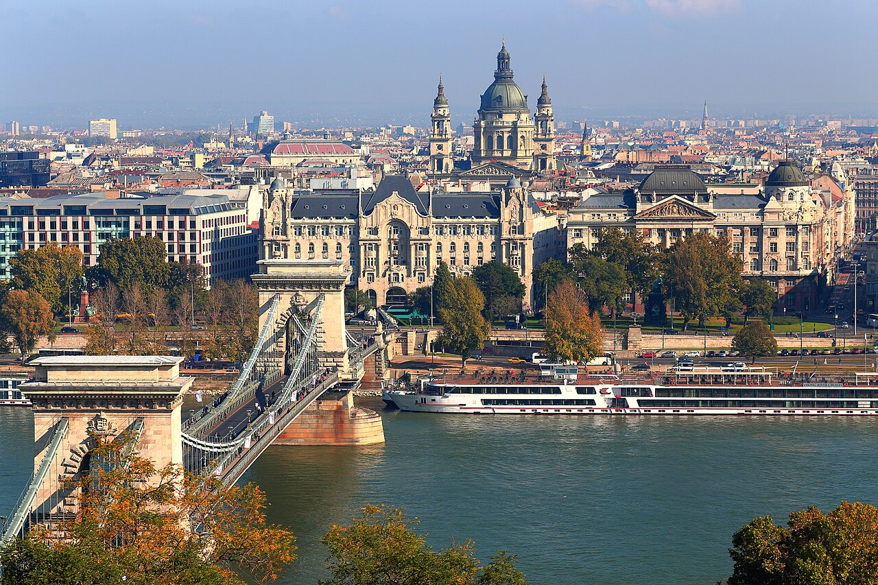
Budapest is divided by the Danube into hilly Buda and flatter Pest. Castle Hill and the Buda riverbank hold major historic sights, while Pest contains Parliament, the central boulevards, the Jewish Quarter, the main market and much of the nightlife. Bridges connect the two halves, but steep terrain and river crossings make geographic grouping more efficient than repeatedly switching banks.
Ranked by importance — sitelinks, pageviews and heritage status, not editor preference.
25 places match
Category
Typical visit duration
Interests
Source: OpenStreetMap contributors, Wikidata ·
Buda rises west of the river around Castle Hill, Gellert Hill and residential slopes. Pest spreads east across a flatter grid: Parliament stands on the river, the inner districts surround Deak Ferenc Square, and Andrassy Avenue runs northeast toward City Park. The Jewish Quarter sits east of the central core. Treat Margaret Island and the outer thermal baths as dedicated stops rather than extensions of a riverside walk.
Checked 2026-08-26
Use metro, tram, trolleybus and bus services for cross-city travel, then walk within Castle Hill or the compact inner Pest districts. BKK states that the public transport network covers the capital, while its BudapestGO service supports journey planning and digital tickets. River crossings and Buda's slopes can make a short map distance slower than expected, so check the route before changing banks.
Checked 2026-08-26
A fixed stay length is not recorded. Plan at least separate blocks for Castle Hill and Buda, central Pest, City Park and any thermal bath or island visit.
Buda is the hillier western side with Castle Hill and Gellert Hill. Pest is the flatter eastern side containing Parliament, central boulevards, markets and much of the nightlife.
Use BKK metro and tram services for the main corridors, buses or trolleybuses for gaps, and walk inside compact districts. BudapestGO provides official journey planning and digital tickets.
Yes, central bridges connect the two sides, but the river crossing and Buda's slopes add time. Combine nearby sights on each bank before crossing to the other.
Yes. Castle Hill is a concentrated historic district on elevated terrain. Group its sights together rather than returning to it between stops in central Pest.
Set your days, your pace and the hours you actually want to be out. The planner works around closing days and travel time, and leaves room to eat.