
.jpg)


2 dk yürüyüş
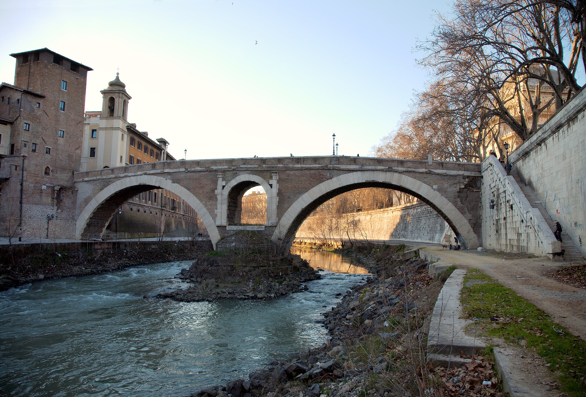
Fabricius Köprüsü
- Mutlaka görülmeli · Miras alanı
- Tarihi anıt
Dil · 11 yayınlandı
Tarihi anıt · Roma
Ponte Cestio

Pons Cestius, known locally as Ponte Cestio, is an ancient Roman bridge connecting the Tiber Island to the western bank of the Tiber River in Rome. The structure dates to the first century BC, traditionally attributed to Lucius Cestius. The bridge was rebuilt in the fourth century AD and again in the nineteenth century, incorporating original ancient materials. It serves as a vital pedestrian and vehicular crossing, forming part of the historical fabric linking the island to Trastevere. A flexible visit to Pons Cestius leaves room to adjust for access conditions without relying on unverified schedules, prices or closure assumptions. Confirm practical details with the operator when available.
2026-08-28 kontrol edildi
The bridge itself contains no interior spaces or enclosed attractions. Visitors experience the structure externally, walking across its stone span with views of the Tiber River, Tiber Island, and surrounding cityscape. The bridge features classical architectural elements including stone arches and parapets. The nearby Tiber Island, accessible via Pons Cestius, contains the Basilica of St. Bartholomew, the Church of San Giovanni Calibita, and the Fatebenefratelli Hospital, though these are separate destinations requiring independent exploration. Pons Cestius is best treated as a distinct stop rather than a generic example of its category. Focus on the setting, surviving features and visitor route visible on arrival.
2026-08-28 kontrol edildi
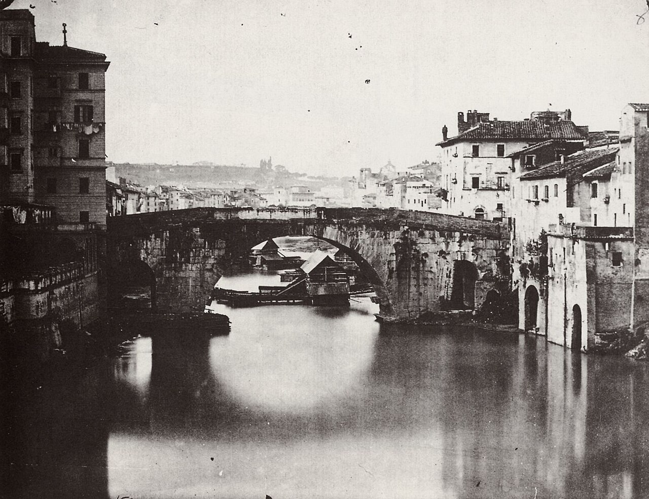
Crossing Pons Cestius requires approximately five to ten minutes at a leisurely pace. Visitors often extend their visit by exploring Tiber Island, which can occupy thirty minutes to one hour depending on interest in its churches and historical sites. Combining the bridge with a broader walking tour of Trastevere and the riverbanks constitutes a half-day excursion. The bridge functions primarily as a thoroughfare rather than a prolonged destination, with most visitors pausing briefly to observe the river views and architectural details.
2026-08-28 kontrol edildi

The bridge is accessible at all hours as a public thoroughfare. Rome experiences peak tourist seasons from April through October, with summer months bringing intense heat and crowds. Early morning and evening crossings offer more tranquil experiences with favorable lighting. Winter visits provide fewer crowds though weather conditions may be less comfortable. The bridge holds no seasonal closures based on available information, though surrounding businesses and island attractions operate independently with variable schedules. Check the operator's own site for the travel date before relying on a schedule or fare.
2026-08-28 kontrol edildi
No admission fee is required to cross Pons Cestius as it functions as a public bridge. No ticketing infrastructure exists for the structure itself. Visitors should budget separately for any museums, churches, or attractions on Tiber Island or in surrounding neighborhoods. Rome offers various city passes for major monuments, though these do not specifically pertain to this bridge. Standard travel expenses for transportation, meals, and accommodation in Rome apply to any visit incorporating this site. Check the operator's own site for the travel date before relying on a schedule or fare.
2026-08-28 kontrol edildi
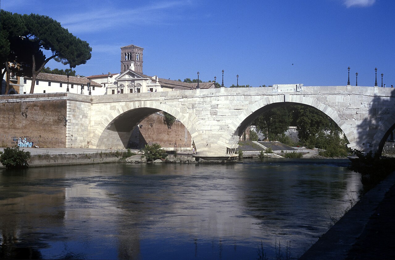
Pons Cestius connects Tiber Island to Lungotevere in Augusta on the Trastevere side. The nearest tram stop is likely along routes serving the Tiber corridor, though specific transport details are Not recorded pending review. Walking from central Rome locations including Piazza Navona, Campo de' Fiori, or the Jewish Ghetto is feasible. Trastevere's narrow streets and pedestrian zones make walking often the most practical approach. Tiber Island itself is accessible via Pons Fabricius from the eastern bank, allowing circular routes incorporating both ancient bridges.
2026-08-28 kontrol edildi
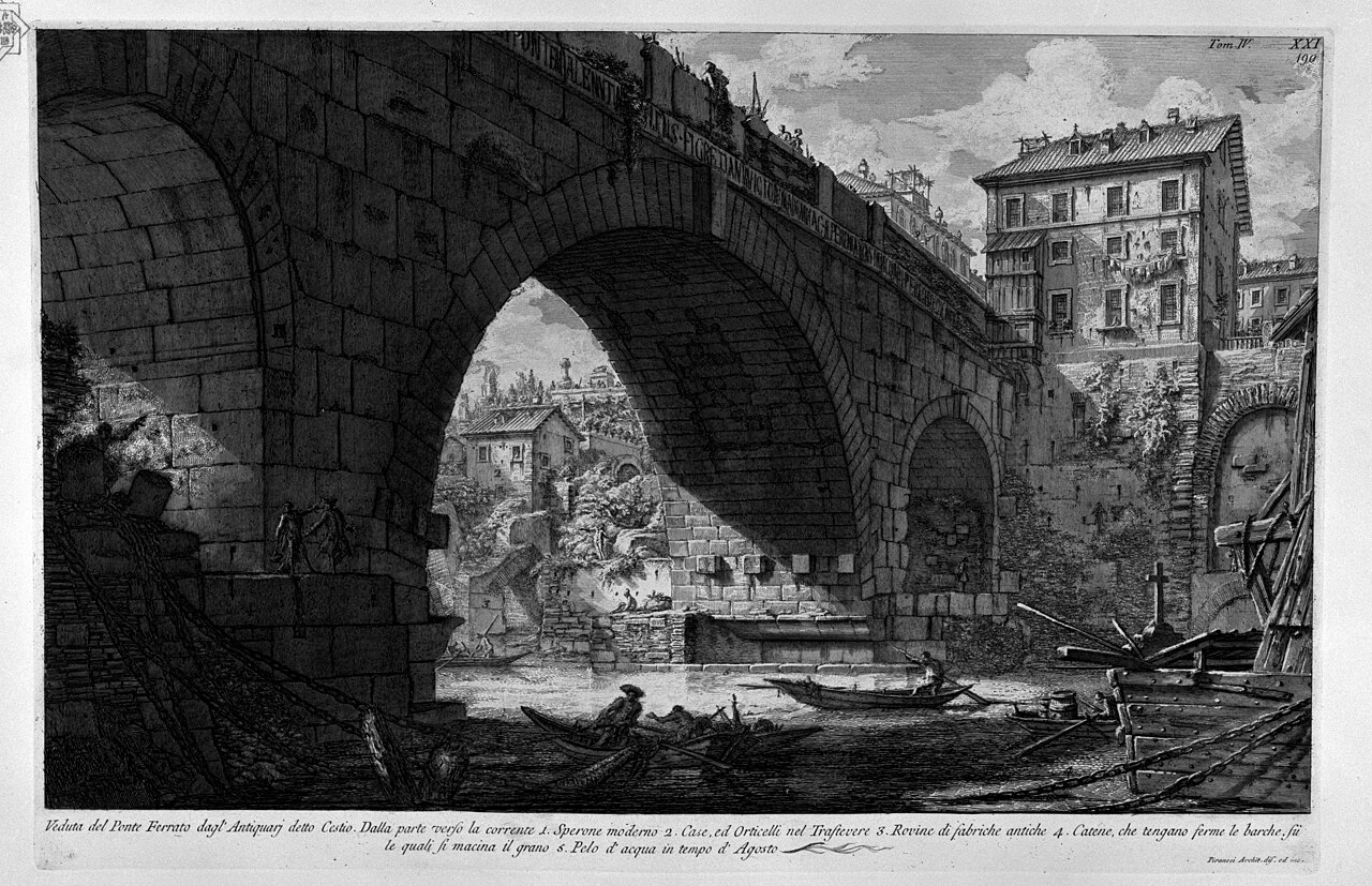
Vehicle traffic shares the bridge, requiring pedestrian awareness. The stone surface may become slippery in wet conditions. Crowds concentrate during peak hours and festivals, particularly when Tiber Island hosts seasonal events. The bridge lacks substantial protective barriers between pedestrians and vehicles in certain configurations. Summer heat radiates from stone surfaces during midday. Visitors with mobility concerns should note the bridge approaches involve slight elevation changes. Standard urban precautions regarding personal belongings apply in this well-trafficked but tourist-frequented area. The useful pace at Pons Cestius depends on personal interest and conditions on the day. Keep the surrounding part of the itinerary flexible if access or visitor flow differs from expectations.
2026-08-28 kontrol edildi

Photography rules are Not recorded pending review. The bridge offers compelling views of the Tiber River, Tiber Island architecture, and the contrasting cityscapes of Trastevere and central Rome. Dawn and dusk provide optimal natural lighting. Tripod use may attract attention in this active traffic corridor. The narrow span limits composition options; wider shots are achievable from riverbanks or adjacent bridges. Drone operation would require verification of Italian aviation regulations and local restrictions. Respect for private residences visible from the bridge is advisable.
2026-08-28 kontrol edildi
Yes, Pons Cestius is the Latin name and Ponte Cestio is the Italian local name for the same bridge.
Yes, the bridge accommodates vehicle traffic as well as pedestrians, requiring awareness of shared space.
The original bridge dates to the first century BC, though the present structure incorporates nineteenth-century rebuilding with some ancient materials.
Yes, Pons Cestius connects the western bank of the Tiber to Tiber Island.
No, the bridge contains no commercial establishments; dining options exist on Tiber Island and in surrounding neighborhoods.
Accessibility conditions are Not recorded pending review; the bridge approaches involve elevation changes that may present challenges.
Etkileşimli harita yükleniyor…
Etkileşimli harita yüklenemedi.


Son güncelleme:
Kaynak: OpenStreetMap katkıda bulunanları, Wikidata ·